Mela, Corse-du-Sud
| Mela | |
|---|---|
|
Ruins of the church of Santa Maria Assunta | |
 Mela | |
|
Location within Corsica region 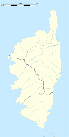 Mela | |
| Coordinates: 41°41′48″N 9°05′41″E / 41.6967°N 9.0947°ECoordinates: 41°41′48″N 9°05′41″E / 41.6967°N 9.0947°E | |
| Country | France |
| Region | Corsica |
| Department | Corse-du-Sud |
| Arrondissement | Sartène |
| Canton | Tallano-Scopamène |
| Intercommunality | l'Alta Rocca |
| Government | |
| • Mayor (2008–2014) | Ivan Chiaverini |
| Area1 | 4.63 km2 (1.79 sq mi) |
| Population (2008)2 | 31 |
| • Density | 6.7/km2 (17/sq mi) |
| Time zone | CET (UTC+1) |
| • Summer (DST) | CEST (UTC+2) |
| INSEE/Postal code | 2A158 / 20112 |
| Elevation |
137–908 m (449–2,979 ft) (avg. 800 m or 2,600 ft) |
|
1 French Land Register data, which excludes lakes, ponds, glaciers > 1 km² (0.386 sq mi or 247 acres) and river estuaries. 2 Population without double counting: residents of multiple communes (e.g., students and military personnel) only counted once. | |

Mela is a commune in the Corse-du-Sud department of France on the island of Corsica.
Population
| Historical population | ||
|---|---|---|
| Year | Pop. | ±% |
| 1962 | 53 | — |
| 1968 | 56 | +5.7% |
| 1975 | 51 | −8.9% |
| 1982 | 48 | −5.9% |
| 1990 | 30 | −37.5% |
| 1999 | 40 | +33.3% |
| 2008 | 31 | −22.5% |
See also
References
| Wikimedia Commons has media related to Mela. |
This article is issued from Wikipedia - version of the 7/21/2016. The text is available under the Creative Commons Attribution/Share Alike but additional terms may apply for the media files.