Frías de Albarracín
| Frías de Albarracín | |
|---|---|
 | |
| Coordinates: 40°20′N 1°37′W / 40.333°N 1.617°WCoordinates: 40°20′N 1°37′W / 40.333°N 1.617°W | |
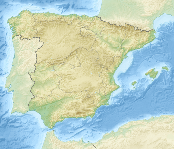
| Country | Spain |
| Autonomous community | Aragon |
| Province | Teruel |
| Comarca | Sierra de Albarracín Comarca |
| Municipality | Frías de Albarracín |
| Area | |
| • Total | 50.79 km2 (19.61 sq mi) |
| Elevation | 1,496 m (4,908 ft) |
| Population (2015) | |
| • Total | 131 |
| • Density | 3.3/km2 (9/sq mi) |
| Time zone | CET (UTC+1) |
| • Summer (DST) | CEST (UTC+2) |
| Postal code | 44126 |
Frías de Albarracín is a municipality in the province of Teruel, Sierra de Albarracín Comarca, Aragon, Spain. The town is located in the Montes Universales area, Sistema Ibérico. According to the 2013 census (INE), the municipality has a population of 143 inhabitants.
The source of the Tagus is the Fuente de García, located within the Frías de Albarracín municipal term at almost 1600 m above sea level.[1]
..JPG)
See also
References
External links
 Media related to Frías de Albarracín at Wikimedia Commons
- Pictures of Frias town
This article is issued from Wikipedia - version of the 8/28/2016. The text is available under the Creative Commons Attribution/Share Alike but additional terms may apply for the media files.