Montalbán
For other uses, see Montalbán (disambiguation).
| Montalbán, Spain | |
|---|---|
 | |
 | |
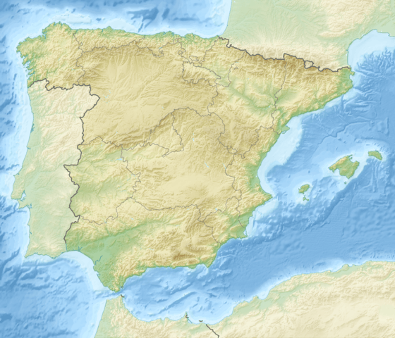
| Coordinates: 40°50′N 0°48′W / 40.833°N 0.800°WCoordinates: 40°50′N 0°48′W / 40.833°N 0.800°W | |
| Country | Spain |
| Autonomous community | Aragon |
| Province | Teruel |
| Municipality | Montalbán |
| Area | |
| • Total | 82 km2 (32 sq mi) |
| Elevation | 907 m (2,976 ft) |
| Population (2008) | |
| • Total | 1,477 |
| Time zone | CET (UTC+1) |
| • Summer (DST) | CEST (UTC+2) |
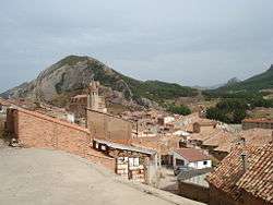
Montalbán is a town and municipality in Spain with a population of 1,538, an area of 82 km² and a density of 18.75, located in Teruel province, in the autonomous community of Aragón. It is the historical and cultural capital of the Cuencas Mineras Aragonese comarca.
The Sierra de San Just rises south of the town. Road N-211 crosses the southern end of Montalbán.
External links
| Wikimedia Commons has media related to Montalbán. |
- Aerial view of Montalbán, Teruel, Spain. (Google maps)
-
 Montalban travel guide from Wikivoyage
This article is issued from Wikipedia - version of the 5/8/2016. The text is available under the Creative Commons Attribution/Share Alike but additional terms may apply for the media files.