La Puebla de Híjar
| La Puebla de Híjar | |||
|---|---|---|---|
| |||
 | |||
| Coordinates: 41°13′N 0°26′W / 41.217°N 0.433°WCoordinates: 41°13′N 0°26′W / 41.217°N 0.433°W | |||
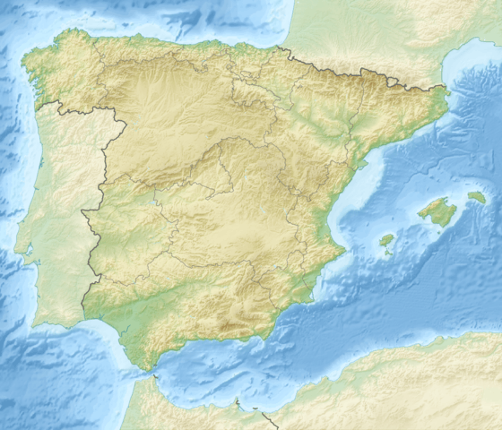
| Country | Spain | ||
| Autonomous community | Aragon | ||
| Province | Teruel | ||
| Comarca | Bajo Martín | ||
| Area | |||
| • Total | 60.78 km2 (23.47 sq mi) | ||
| Elevation | 216 m (709 ft) | ||
| Population (2008) | |||
| • Total | 1,018 | ||
| Time zone | CET (UTC+1) | ||
| • Summer (DST) | CEST (UTC+2) | ||


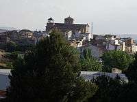
La Puebla de Híjar is a town and municipality in the Bajo Martín comarca, Teruel province, Aragón, Spain. It has a population of 1,046, an area of 61 km² and is located near N-232 road.
This town was the starting point of an abandoned railway line known as "Ferrocarril del Val de Zafán", to Alcañiz, Tortosa and eventually Sant Carles de la Ràpita.[1] Construction work began in 1891, but the last stretch between Tortosa and Sant Carles de la Ràpita was never completed before the line was abandoned.[2]
Politics
The mayor of La Puebla de Híjar is Ms. Juana María Barreras, of the Partido Socialista Obrero Español.
The Partido Socialista Obrero Español has 5 councillors in the town's ayuntamiento, Izquierda Unida has 2, and the Partido Popular has 2.
In the 2004 Spanish General Election the Partido Socialista Obrero Español got 46.0% of the vote in La Puebla de Híjar, the Partido Popular got 31.1%, Izquierda Unida got 12.5%, the Chunta Aragonesista, 6.9% and the Partido Aragonés, 2.7%.
See also
References
External links
| Wikimedia Commons has media related to La Puebla de Híjar. |
- Aerial view of La Puebla de Híjar, Teruel, Spain. (Google maps)
- Página web de La Puebla de Híjar
- Ruta del Tambor y del Bombo
- Foro de La Puebla de Híjar
- Pertenece a la Comarca del Bajo Martín