Guapi Airport
| Guapi Airport Juan Casiano Airport Aeropuerto "Juan Casiano Solís" de Guapi | |||||||||||
|---|---|---|---|---|---|---|---|---|---|---|---|
| IATA: GPI – ICAO: SKGP | |||||||||||
| Summary | |||||||||||
| Airport type | Public | ||||||||||
| Operator | Aerocivil | ||||||||||
| Location | Guapi, Colombia | ||||||||||
| Elevation AMSL | 164 ft / 50 m | ||||||||||
| Coordinates | 02°34′12″N 077°53′54″W / 2.57000°N 77.89833°WCoordinates: 02°34′12″N 077°53′54″W / 2.57000°N 77.89833°W | ||||||||||
| Map | |||||||||||
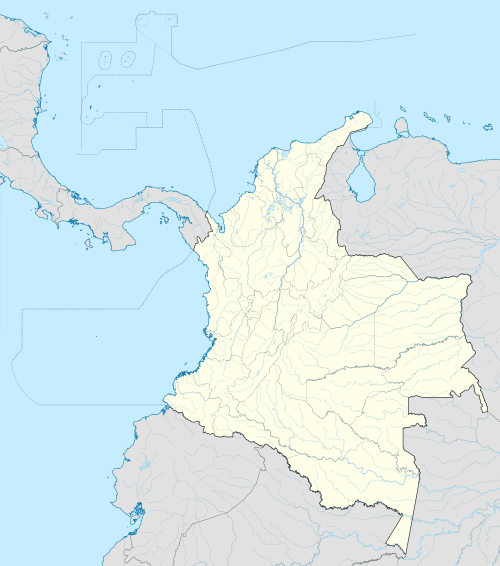 GPI Location of airport in Colombia | |||||||||||
| Runways | |||||||||||
| |||||||||||
| Statistics (2007) | |||||||||||
| |||||||||||
Guapi Airport[1] (IATA: GPI, ICAO: SKGP), also known as Juan Casiano Airport[2] (Spanish: Aeropuerto "Juan Casiano Solis" de Guapi[3]), is an airport serving Guapi, a municipality in the Cauca Department of Colombia.
Airlines and destinations
| Airlines | Destinations |
|---|---|
| SATENA | Cali |
References
- 1 2 Airport information for Guapi Airport (SKGP / GPI) at Great Circle Mapper. Source: DAFIF (effective October 2006).
- 1 2 Airport information for Juan Casiano Airport (SKGP) at World Aero Data. Data current as of October 2006.Source: DAFIF.
- ↑ Agencia Logistica FF.MM.
External links
This article is issued from Wikipedia - version of the 11/27/2016. The text is available under the Creative Commons Attribution/Share Alike but additional terms may apply for the media files.