Benito Salas Airport
| Benito Salas Airport Aeropuerto Benito Salas | |||||||||||
|---|---|---|---|---|---|---|---|---|---|---|---|
| IATA: NVA – ICAO: SKNV | |||||||||||
| Summary | |||||||||||
| Airport type | Public | ||||||||||
| Operator | Government | ||||||||||
| Serves | Neiva, Huila, Colombia | ||||||||||
| Location | Neiva-Colombia | ||||||||||
| Elevation AMSL | 1,464 ft / 446 m | ||||||||||
| Coordinates | 02°57′00″N 75°17′38″W / 2.95000°N 75.29389°WCoordinates: 02°57′00″N 75°17′38″W / 2.95000°N 75.29389°W | ||||||||||
| Map | |||||||||||
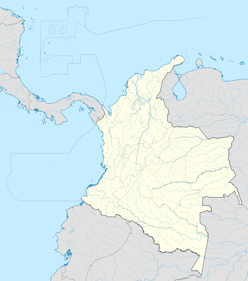 NVA Location of airport in Colombia | |||||||||||
| Runways | |||||||||||
| |||||||||||
Benito Salas Airport (IATA: NVA, ICAO: SKNV) is an airport that serves the city of Neiva, the capital of the Huila Department in Colombia. It was named after Benito Salas Vargas, a military and social leader during Colombia's (then known as New Granada) independence war (1810–1819). Actually is in a rebuilding process, that includes a new control tower, and a new building with garages. Former known as "La Maguita airport" because it is placed in an old ranch with that name, even today people call it "La Manguita".
Airlines and destinations
| Airlines | Destinations |
|---|---|
| Avianca | Bogotá |
| EasyFly | Bogotá |
Accidents and incidents
- On 8 January 1975, Douglas DC-3 FAC-688 of SATENA crashed shortly after take-off on a flight to Gustavo Artunduaga Paredes Airport, Florencia. All 30 people on board were killed.[3]
References
- ↑ Airport information for SKNV at World Aero Data. Data current as of October 2006.Source: DAFIF.
- ↑ Airport information for NVA at Great Circle Mapper. Source: DAFIF (effective October 2006).
- ↑ "Accident description". Aviation Safety Network. Retrieved 17 August 2010.
External links
- Airport information for SKNV at World Aero Data. Data current as of October 2006.
- Airport information
- Accident history for NVA at Aviation Safety Network
This article is issued from Wikipedia - version of the 12/4/2016. The text is available under the Creative Commons Attribution/Share Alike but additional terms may apply for the media files.