Alfredo Vásquez Cobo International Airport
| Alfredo Vásquez Cobo International Airport Aeropuerto Internacional Alfredo Vásquez Cobo | |||||||||||
|---|---|---|---|---|---|---|---|---|---|---|---|
| IATA: LET – ICAO: SKLT | |||||||||||
| Summary | |||||||||||
| Airport type | Public | ||||||||||
| Operator | Aerocivil | ||||||||||
| Serves | Leticia, Colombia | ||||||||||
| Elevation AMSL | 277 ft / 84 m | ||||||||||
| Coordinates | 04°11′36″S 69°56′35″W / 4.19333°S 69.94306°WCoordinates: 04°11′36″S 69°56′35″W / 4.19333°S 69.94306°W | ||||||||||
| Map | |||||||||||
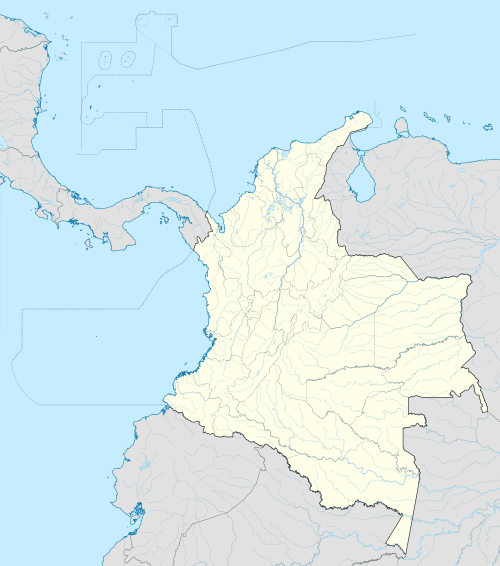 LET Location of airport in Colombia | |||||||||||
| Runways | |||||||||||
| |||||||||||
| Statistics (2014) | |||||||||||
| |||||||||||
Alfredo Vásquez Cobo International Airport (Spanish: Aeropuerto Internacional Alfredo Vásquez Cobo)[1] (IATA: LET, ICAO: SKLT) is an airport serving Leticia, the capital of the Amazonas department of Colombia.
It is the largest airport in the south of the country, located in the Colombian department of Amazonas and in the most southern part of this country. Vásquez Cobo is the gateway for the Colombian jungle region. In addition to being the Colombian jungle region gateway, it also serves as the major airport in the triple-border region (Colombia, Brazil and Peru). For this reason, the airport handles the majority of passengers from the central Amazon region.
Airlines and destinations
| Airlines | Destinations |
|---|---|
| Avianca | Bogotá |
| LATAM Colombia | Bogotá |
| Satena | La Chorrera, La Pedrera, Tarapacá |
| VivaColombia | Bogotá |
Accidents
- On November 18, 2006, an AeroSucre Boeing 727 crashed during landing due to poor weather and fog against a television antenna with 40 meters of height. The three members of crew, as well as the three passengers, died in the accident.
References
- ↑ (Spanish) Aeródromos Internacionales. Unidad Administrativa Especial de Aeronáutica Civil (UAEAC). Accessed 16 October 2009.
External links
This article is issued from Wikipedia - version of the 12/4/2016. The text is available under the Creative Commons Attribution/Share Alike but additional terms may apply for the media files.