Gunfleet Lighthouse
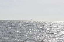 Distant view taken in 2010 | |
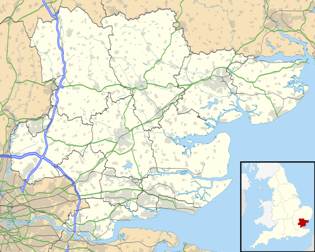 Essex | |
| Location |
offshore of Frinton-on-Sea Essex England |
|---|---|
| Coordinates | 51°46′45.12″N 1°21′27″E / 51.7792000°N 1.35750°ECoordinates: 51°46′45.12″N 1°21′27″E / 51.7792000°N 1.35750°E |
| Year first constructed | 1850 |
| Deactivated | 1921 |
| Construction | screw-pile tower |
| Tower shape | hexagonal frustum tower with keeper's quarter, balcony and lantern |
| Height | 23 metres (75 ft) |
| ARLHS number | ENG-049 |
| Managing agent | Gunfleet Sands Windfarm[1] |
Gunfleet Lighthouse is a screw-pile lighthouse lying in the North Sea, six miles off the coast at Frinton-on-Sea in Essex constructed in 1850 by James Walker of Trinity House. It is 74 feet (23 m) in height and hexagonal in plan; mounted on seven piles forming a steel lattice and originally painted red. The living accommodation comprises a living room, bedroom, kitchen/washroom and storeroom.[2]
It was deactivated in 1921.[3] though still in use as an automated weather station by the Port of London Authority,[2] and marks the northern limit of their jurisdiction.[4]
In 1974 an attempt was made to use the lighthouse as a base for the pirate radio station Radio Atlantis but this was thwarted by the authorities.[3]
See also
References
- ↑ Gunfleet The Lighthouse Directory. University of North Carolina at Chapel Hill. Retrieved May 1st, 2016
- 1 2 "Gunfleet Lighthouse". Retrieved 2012-12-03.
- 1 2 "Gunfleet Lighthouse". The Offshore Radio Fleet. Retrieved 2012-12-03.
- ↑ "Tide Tables and Port Information" (PDF). Port of London Authority. p. 8. Retrieved 7 July 2014.
External links
- 2005 tour of the lighthouse (including internal photographs)
- More external photographs from 2005
- Day-trip to Gunfleet Lighthouse
| Wikimedia Commons has media related to Gunfleet Lighthouse. |
This article is issued from Wikipedia - version of the 6/9/2016. The text is available under the Creative Commons Attribution/Share Alike but additional terms may apply for the media files.