Gurh
| Gurh | |
|---|---|
| city | |
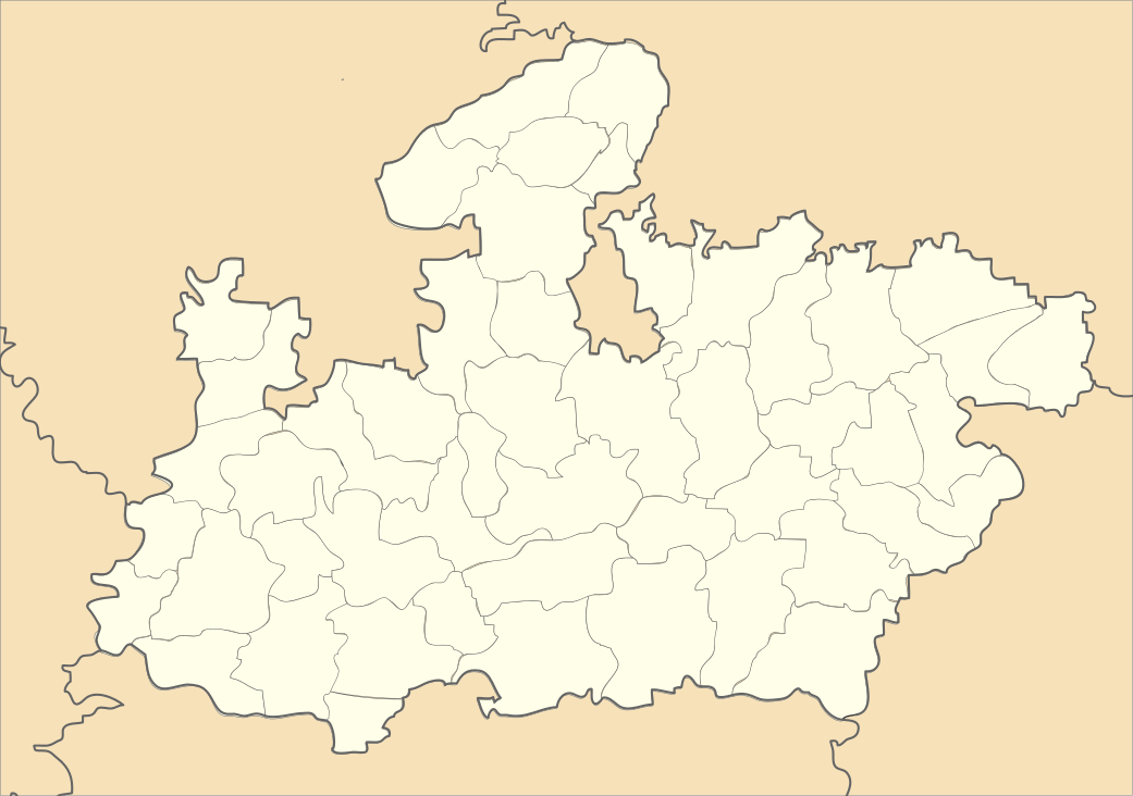 Gurh  Gurh Location in Madhya Pradesh, India | |
| Coordinates: 24°31′N 81°31′E / 24.52°N 81.52°ECoordinates: 24°31′N 81°31′E / 24.52°N 81.52°E | |
| Country |
|
| State | Madhya Pradesh |
| District | Rewa |
| Elevation | 305 m (1,001 ft) |
| Population (2001) | |
| • Total | 12,445 |
| Languages | |
| • Official | Hindi |
| Time zone | IST (UTC+5:30) |
| ISO 3166 code | IN-MP |
| Vehicle registration | MP |
Gurh is a town and a nagar panchayat in Rewa district in the Indian state of Madhya Pradesh. It is 23 km from Rewa city, after Gurh a long Mountain range starts which divides the Rewa and Sidhi District's border lines. It is also famous for Bhairav Baba statue (just 3 km distance from Gurh). Approx 20 km eastward from Gurh, a village Tamara Desh is located which is the end point of Gurh. The village is at triangle of Gurh, Mauganj and Sidhi district.
Geography
Gurh is located at 24°31′N 81°31′E / 24.52°N 81.52°E.[1] It has an average elevation of 305 metres (1000 feet).
Demographics
As of 2001 India census,[2] Gurh had a population of 12,445. Males constitute 52% of the population and females 48%. Gurh has an average literacy rate of 57%, lower than the national average of 59.5%: male literacy is 69%, and female literacy is 43%. In Gurh, 17% of the population is under 6 years of age.
References
- ↑ Falling Rain Genomics, Inc - Gurh
- ↑ "Census of India 2001: Data from the 2001 Census, including cities, villages and towns (Provisional)". Census Commission of India. Archived from the original on 2004-06-16. Retrieved 2008-11-01.