Mauganj
| Mauganj मऊगंज | |
|---|---|
| town | |
|
Bahuti waterfall | |
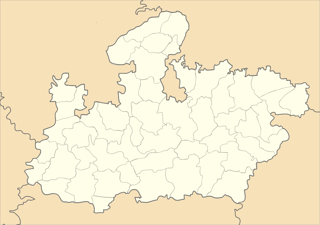 Mauganj  Mauganj Location in Madhya Pradesh, India | |
| Coordinates: 24°41′N 81°53′E / 24.68°N 81.88°ECoordinates: 24°41′N 81°53′E / 24.68°N 81.88°E | |
| Country |
|
| State | Madhya Pradesh |
| District | Rewa |
| Elevation | 313 m (1,027 ft) |
| Population (2001) | |
| • Total | 26,420 |
| Languages | |
| Time zone | IST (UTC+5:30) |
| PIN | 486331 [1] |
| ISO 3166 code | IN-MP |
| Vehicle registration | MP |

Mauganj is a small town and a nagar panchayat in Rewa district in the Indian state of Madhya Pradesh. Bagheli is the regional language of Mauganj. The place is famous for waterfalls.
Geography
Mauganj is located at 24°41′N 81°53′E / 24.68°N 81.88°E.[2] It has an average elevation of 313 metres (1026 feet). Mauganj is 65 km from Rewa, and villages Panni, Dhera, Barahata,Pakara Pande, Khatkhri, Padar, Nandanpur.
Some sites of religious significance around Mauganj are:
- Mahadev Temple in Devatalab (17 km from Mauganj).
- Asht Bhuji temple
- Hanuman Mandir and Alopan Mandir
Tourist places-
- Bahuti Waterfall (Bahuti jalprapat 14km)
- Belauhi Waterfall at Belauhikubran near Shahpur (37km)
Demographics
As of 2001 India census,[3] Mauganj had a population of 22,989. Males constitute 52% of the population and females 48%. Mauganj has an average literacy rate of 52%, lower than the national average of 59.5%: male literacy is 63%, and female literacy is 41%. In Mauganj, 18% of the population is under 6 years of age.
References
- ↑ http://www.citypincode.in/MADHYA_PRADESH/REWA/MAUGANJ_PINCODE
- ↑ Falling Rain Genomics, Inc - Mauganj
- ↑ "Census of India 2001: Data from the 2001 Census, including cities, villages and towns (Provisional)". Census Commission of India. Archived from the original on 2004-06-16. Retrieved 2008-11-01.