Kotar, Satna
| Kotar | |
|---|---|
| city | |
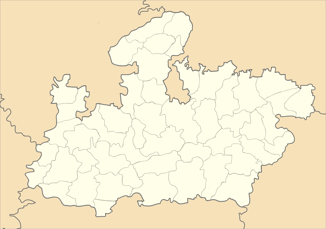 Kotar  Kotar Location in Madhya Pradesh, India | |
| Coordinates: 24°43′N 80°59′E / 24.72°N 80.98°ECoordinates: 24°43′N 80°59′E / 24.72°N 80.98°E | |
| Country |
|
| State | Madhya Pradesh |
| District | Satna |
| Elevation | 298 m (978 ft) |
| Population (2001) | |
| • Total | 6,863 |
| Languages | |
| • Official | Hindi |
| Time zone | IST (UTC+5:30) |
| ISO 3166 code | IN-MP |
| Vehicle registration | MP |
Kotar is a town and a nagar panchayat in Satna district in the Indian state of Madhya Pradesh.
Geography
Kotar is located at 24°43′N 80°59′E / 24.72°N 80.98°E.[1] It has an average elevation of 298 metres (977 feet). A mini fort ( Garhee) was constructed by Raja Bhava singh of Rewa state in 1675 at Kotar. He was a devotee of bhawan jagannath of Puri. Raja Bhava singh, during his tenure as king of Rewa between 1660–1690, visited puri thrice . He brought statues from there and installed them at Rewa, Mukundpur and Kotar. The Kotar is near by the veersinghpur. The road is connected to the Veersinghpur.
Demographics
As of 2001 India census,[2] Kotar had a population of 6863. Males constitute 51% of the population and females 49%. Kotar has an average literacy rate of 53%, lower than the national average of 59.5%: male literacy is 66%, and female literacy is 40%. In Kotar, 18% of the population is under 6 years of age. In 1911 population of kotar was 1814. There are three mail old Mohallas (Tola) in Kotar. These are Gadhitola, Maghtolaba & Kotarahan tola.
References
- ↑ Falling Rain Genomics, Inc - Kotar
- ↑ "Census of India 2001: Data from the 2001 Census, including cities, villages and towns (Provisional)". Census Commission of India. Archived from the original on 2004-06-16. Retrieved 2008-11-01.