Hôrka
| Hôrka | |
| Municipality | |
| Country | Slovakia |
|---|---|
| Region | Prešov |
| District | Poprad |
| Elevation | 600 m (1,969 ft) |
| Coordinates | 49°01′17″N 20°23′35″E / 49.02139°N 20.39306°ECoordinates: 49°01′17″N 20°23′35″E / 49.02139°N 20.39306°E |
| Area | 11.305999 km2 (4 sq mi) |
| Population | 1,778 (31 December 2010) |
| Density | 157/km2 (407/sq mi) |
| Founded | 1347 |
| Postal code | 059 12 |
| Area code | +421-52 |
| Car plate | PP |
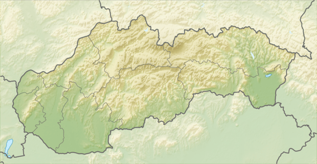 Location of Hôrka in Slovakia | |
| Wikimedia Commons: Hôrka | |
| Statistics: | |
| Website: www.horka.eu/ | |
Hôrka is a village and municipality in Poprad District in the Prešov Region of northern Slovakia.[1]
Geography
The municipality lies at an altitude of 610 metres and covers an area of 11.305 km². It has a population of about 1560 people.
History
In historical records the village was first mentioned in 1347.
Economy and infrastructure
Near the village is a wind park. From cultural sightseeings are interesting early gothic Roman Catholic church and a baroque chapel.
See also
References
- ↑ "Statistical Office of the Slovak Republic" (PDF). Výsledky SODB 2011. Štatistický úrad SR. Archived from the original (PDF) on October 12, 2013. Retrieved 9.8.2012. Check date values in:
|access-date=(help)
Genealogical resources
The records for genealogical research are available at the state archive "Statny Archiv in Levoca, Slovakia"
External links
Municipalities of Poprad District | ||
|---|---|---|
This article is issued from Wikipedia - version of the 7/21/2016. The text is available under the Creative Commons Attribution/Share Alike but additional terms may apply for the media files.