Spišská Teplica
| Spišská Teplica | ||
| Municipality | ||
|
||
| Country | Slovakia | |
|---|---|---|
| Region | Prešov | |
| District | Poprad | |
| Elevation | 697 m (2,287 ft) | |
| Coordinates | 49°02′49″N 20°14′57″E / 49.04694°N 20.24917°ECoordinates: 49°02′49″N 20°14′57″E / 49.04694°N 20.24917°E | |
| Area | 31.120866 km2 (12 sq mi) | |
| Population | 2,175 (31 December 2010) | |
| Density | 70/km2 (181/sq mi) | |
| Postal code | 059 34 | |
| Area code | +421-52 | |
| Car plate | PP | |
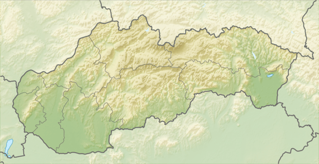 Location of Spišská Teplica in Slovakia | ||
| Wikimedia Commons: Spišská Teplica | ||
| Statistics: | ||
| Website: www.spisskateplica.sk/ | ||

Spišská Teplica is a large village and municipality in Poprad District in the Prešov Region of northern Slovakia.[1] It lies on the foothills of High Tatras.
Geography
The municipality lies at an elevation of 704 metres (2,310 ft) and covers an area of 31.121 km² (12.016 mi²). It has a population of about 2000 people.
History
In historical records the village was first mentioned in 1280.
Infrastructure and economy
Touristics dominates the village economy. In the village are several pensions and recreational facilities. Some locals work in industrial enterprises in Poprad and Svit.
References
- ↑ "Statistical Office of the Slovak Republic" (PDF). Výsledky SODB 2011. Štatistický úrad SR. Retrieved 9 Aug 2012.
External links
Municipalities of Poprad District | ||
|---|---|---|
This article is issued from Wikipedia - version of the 11/11/2015. The text is available under the Creative Commons Attribution/Share Alike but additional terms may apply for the media files.