Hocking, Western Australia
| Hocking Perth, Western Australia | |||||||||||||
|---|---|---|---|---|---|---|---|---|---|---|---|---|---|
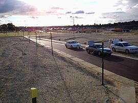 The new land development and building activity in Belvedere Hills, Hocking | |||||||||||||
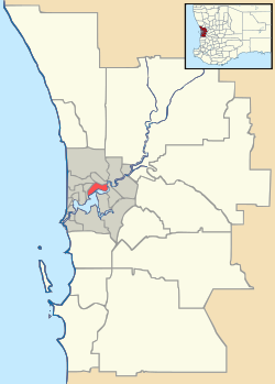 Hocking Location in metropolitan Perth | |||||||||||||
| Coordinates | 31°46′12″S 115°49′08″E / 31.77°S 115.819°ECoordinates: 31°46′12″S 115°49′08″E / 31.77°S 115.819°E | ||||||||||||
| Population | 5,509 (2011 census)[1] | ||||||||||||
| • Density | 2,300/km2 (5,950/sq mi) | ||||||||||||
| Established | 1905 | ||||||||||||
| Postcode(s) | 6065 | ||||||||||||
| Area | 2.4 km2 (0.9 sq mi) | ||||||||||||
| Location | |||||||||||||
| LGA(s) | City of Wanneroo | ||||||||||||
| State electorate(s) | Wanneroo | ||||||||||||
| Federal Division(s) | Cowan | ||||||||||||
| |||||||||||||
Hocking is a suburb of Perth, Western Australia, located within the City of Wanneroo. Until 1994 it was part of the suburb of Wanneroo. The suburb was named after Herbert Hocking, a local landowner, first Chairman of the Wanneroo Road Board and member of the Board from 1903-1931. He was also treasurer of the Agricultural Society in 1909.
The suburb is home to many new houses (many still under construction), much vacant land under development, as well as remnant market gardens. The primary new housing estate is Belvedere Hills, developed by the Satterley Property Group.
References
- ↑ Australian Bureau of Statistics (31 October 2012). "Hocking (State Suburb)". 2011 Census QuickStats. Retrieved 24 October 2013.
External links
Suburbs and localities of the City of Wanneroo, Perth, Western Australia | ||
|---|---|---|
| North West |  | |
| North East | ||
| South | ||
¹ Suburb shared with the City of Joondalup | ||
This article is issued from Wikipedia - version of the 1/16/2015. The text is available under the Creative Commons Attribution/Share Alike but additional terms may apply for the media files.