Ikermiut
For an island of the same name, see Ikermiut Island.
| Ikermiut | |
|---|---|
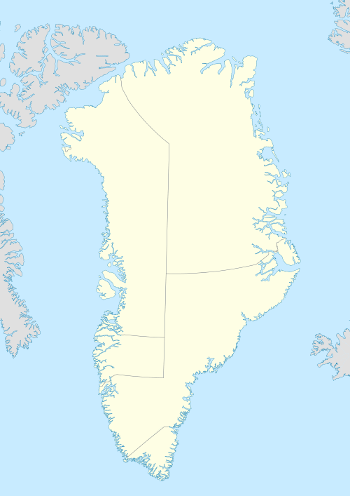 Ikermiut Location within Greenland | |
| Coordinates: 74°20′05″N 56°59′30″W / 74.33472°N 56.99167°WCoordinates: 74°20′05″N 56°59′30″W / 74.33472°N 56.99167°W | |
| State |
|
| Constituent country |
|
| Municipality |
|
| Founded | 1916[1] |
| Abandoned | 1954[1] |
| Time zone | UTC-03 |
Ikermiut is a former settlement in the Qaasuitsup municipality in northwestern Greenland. It was located on Ikermiut Island in the center of Inussulik Bay, a bay in the northern part of Upernavik Archipelago.[2] The settlement was abandoned in 1954 in favor of more northerly settlements of Nuussuaq and Kullorsuaq, due to rough sea waves of Inussulik Bay overflowing the island.[1]
References
Abandoned sites in Greenland | ||||||||||||||||||||
|---|---|---|---|---|---|---|---|---|---|---|---|---|---|---|---|---|---|---|---|---|
|
|  | ||||||||||||||||||
|
| |||||||||||||||||||
| Polar exploration | ||||||||||||||||||||
| Paleo-Eskimo | ||||||||||||||||||||
This article is issued from Wikipedia - version of the 3/16/2013. The text is available under the Creative Commons Attribution/Share Alike but additional terms may apply for the media files.