Itissaalik
For an island of the same name, see Itissaalik Island.
| Itissaalik | |
|---|---|
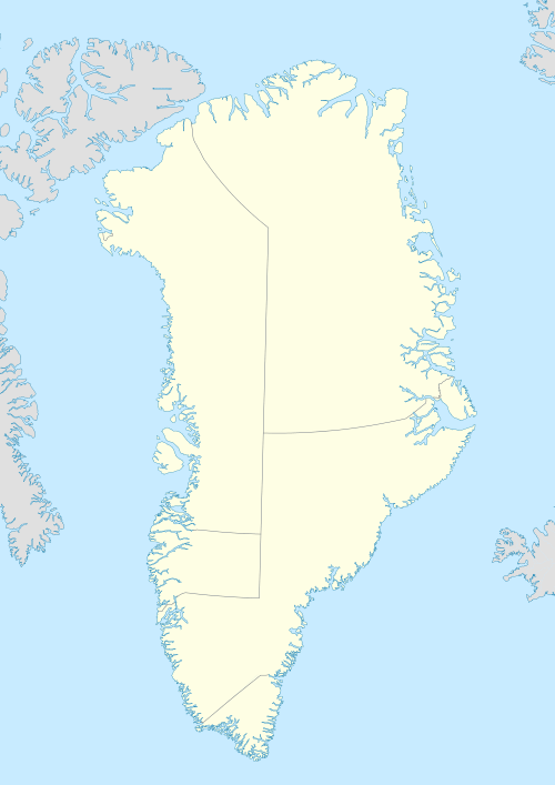 Itissaalik Location within Greenland | |
| Coordinates: 74°03′17″N 56°44′35″W / 74.05472°N 56.74306°WCoordinates: 74°03′17″N 56°44′35″W / 74.05472°N 56.74306°W | |
| State |
|
| Constituent country |
|
| Municipality |
|
| Founded | 1904[1] |
| Abandoned | 1957[1] |
| Time zone | UTC-03 |
Itissaalik (old spelling: Itivsâlik, also Itussaalik) is a former settlement in the Qaasuitsup municipality in northwestern Greenland. It was located in the northern part of Upernavik Archipelago, on the southern shore of Itissaalik Island, an island in Sugar Loaf Bay.[2]
History
Itissaalik was established in 1904, and temporarily depopulated five years later. It was repopulated again in 1911, and finally abandoned in 1957, during the post-war consolidation phase in northwestern Greenland,[1] with the population moving to nearby Nuussuaq, and further to Kullorsuaq in Melville Bay.
References
Abandoned sites in Greenland | ||||||||||||||||||||
|---|---|---|---|---|---|---|---|---|---|---|---|---|---|---|---|---|---|---|---|---|
|
|  | ||||||||||||||||||
|
| |||||||||||||||||||
| Polar exploration | ||||||||||||||||||||
| Paleo-Eskimo | ||||||||||||||||||||
This article is issued from Wikipedia - version of the 3/16/2013. The text is available under the Creative Commons Attribution/Share Alike but additional terms may apply for the media files.