Iru Phutunqu (Chile-Daniel Campos)
For the mountain on the border of Chile and Bolivia in the Potosí Department, Nor Lípez Province, see Iru Phutunqu (Chile-Nor Lípez).
| Iru Phutunqu | |
|---|---|
 Iru Phutunqu Location in Bolivia, on the border with Chile | |
| Highest point | |
| Elevation | 4,200 m (13,800 ft) |
| Coordinates | 19°53′18″S 68°32′30″W / 19.88833°S 68.54167°WCoordinates: 19°53′18″S 68°32′30″W / 19.88833°S 68.54167°W |
| Geography | |
| Location |
Bolivia, Potosí Department, Daniel Campos Province Chile, Tarapacá Region |
| Parent range | Andes, Cordillera Occidental |
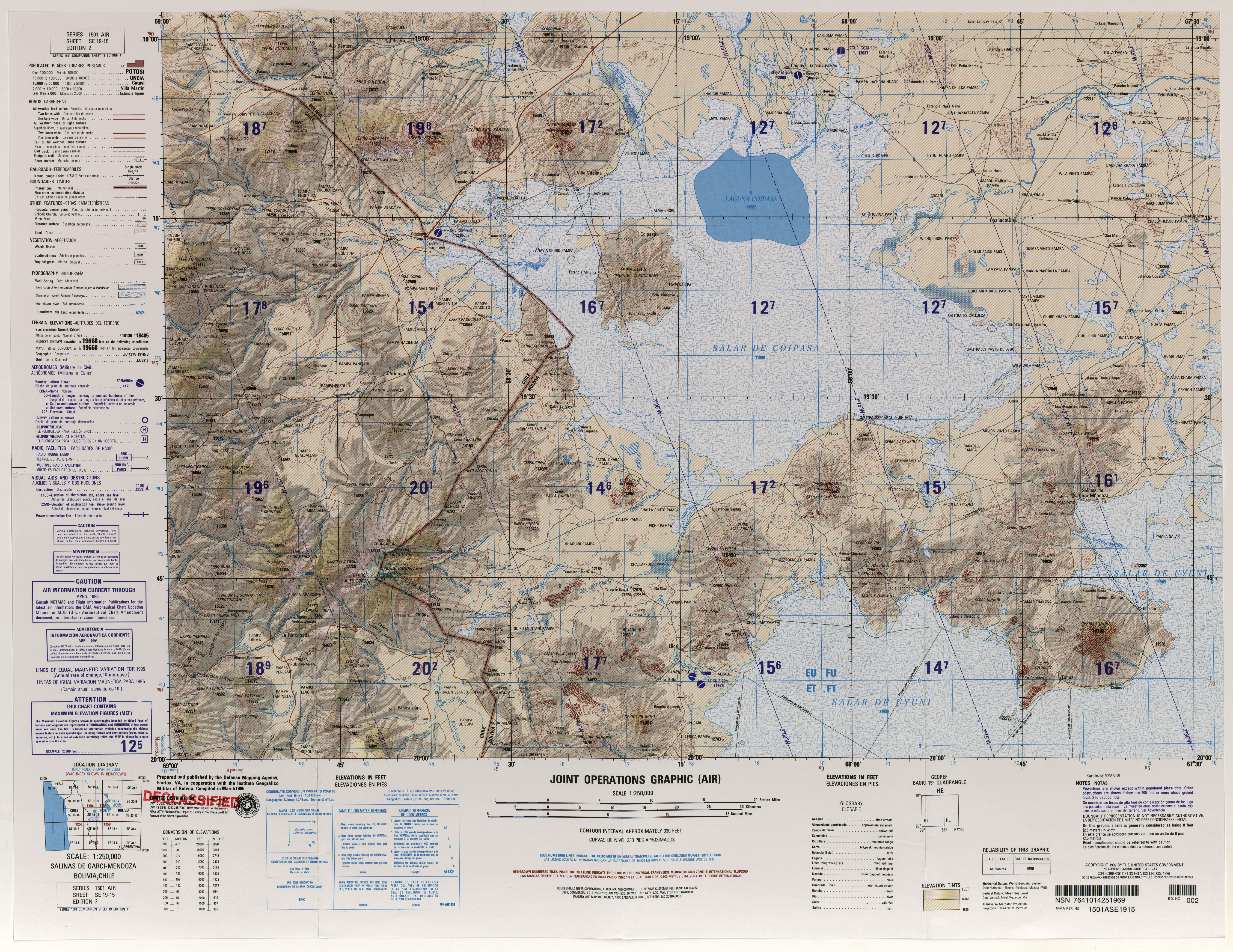
Map showing Iru Phutunqu on the border of Bolivia and Chile, south of the Umani
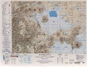
Iru Phutunqu (Aymara iru spiny Peruvian feather grass, phutunqu a small vessel or a hole, pit, crater,[1] hispanicized spelling Iruputuncu) is a mountain in the Andes in the Cordillera Occidental on the border of Bolivia and Chile. The Chilean side is in the Tarapacá Region, and the Bolivian side is in the Potosí Department, Daniel Campos Province, Llica Municipality.[2][3] Iru Phutunqu is southeast of Mount Candelaria, west of the Salar de Uyuni salt flat and south of the Umani. It is about 4,200 m (13,780 ft) high.
References
- ↑ Ludovico Bertonio, Kastilla-Aymara simi qullqa: Iru. - Ichu espinoso. Phutunqu. - Un vasito de barro o redoma. Phutunqu vel Phujru. - Hoyo de la tierra sin agua, no muy hondo.
- ↑ lib.utexas.edu Detailed map of the area
- ↑ Llica Municipality: population data and map
Capital: Potosí | ||
| Provinces | 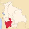 | |
| Municipalities (and seats) |
| |
This article is issued from Wikipedia - version of the 12/6/2015. The text is available under the Creative Commons Attribution/Share Alike but additional terms may apply for the media files.