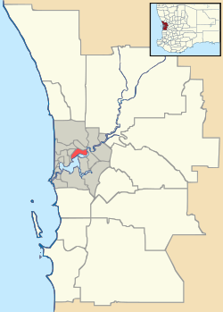
Jolimont, Western Australia
| Jolimont Perth, Western Australia | |||||||||||||
|---|---|---|---|---|---|---|---|---|---|---|---|---|---|
 Jolimont | |||||||||||||
| Coordinates | 31°56′49″S 115°48′32″E / 31.947°S 115.809°ECoordinates: 31°56′49″S 115°48′32″E / 31.947°S 115.809°E | ||||||||||||
| Population | 1,200 (2011 census)[1] | ||||||||||||
| • Density | 1,710/km2 (4,400/sq mi) | ||||||||||||
| Postcode(s) | 6014 | ||||||||||||
| Area | 0.7 km2 (0.3 sq mi) | ||||||||||||
| Location | 5 km (3 mi) W of Perth CBD | ||||||||||||
| LGA(s) | Town of Cambridge | ||||||||||||
| State electorate(s) | Nedlands | ||||||||||||
| Federal Division(s) | Curtin | ||||||||||||
| |||||||||||||
Jolimont is a small suburb of Perth, Western Australia, located within the City of Subiaco although a small portion of the suburb is administered by the Town of Cambridge west of the CBD. The suburb is believed to be named after the Melbourne suburb of Jolimont, which was in turn named after 'Jolimont' - the residence of Governor La Trobe. Its postcode is 6014.
Jolimont only has a small residential section, with most of its land area taken up with parks and sporting facilities, although its catchment area takes in blocks of flats on Cambridge Street, Wembley, and the entire suburb of Daglish. The suburb has a primary school and is served by the Circleroute, as well as being near Daglish train station.
Jolimont is home to the Matthews Netball Centre and the Pat Goodridge Hockey Centre, as well as other courts and open spaces.
References
- ↑ Australian Bureau of Statistics (31 October 2012). "State Suburbs: Jolimont". 2011 Census QuickStats. Retrieved 4 July 2012.