Kincora, Calgary
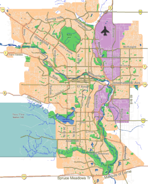
Kincora is a residential neighbourhood in the northwest quadrant of Calgary, Alberta, Canada. Located near the north edge of the city, it is bounded by the Sherwood community across Shaganappi Trail to the west, the Sage Hill community across 128 Avenue N.W. to the north, the Evanston community across Symons Valley Road (Highway 772) to the east, and the Hidden Valley community across Stoney Trail to the south.[1] It is one of five communities located within the Symons Valley area.[2]
Kincora is represented in the Calgary City Council by the Ward 2 councillor.[3]
Demographics
In the City of Calgary's 2012 municipal census, Kincora had a population of 4,876 living in 1,548 dwellings, a 5.4% increase from its 2011 population of 4,625.[4] With a land area of 2.3 km2 (0.89 sq mi), it had a population density of 2,120/km2 (5,490/sq mi) in 2012.[5][4]
See also
References
- ↑ "City of Calgary Communities and Industrial Area Locations" (PDF). City of Calgary. September 2011. Retrieved 2012-05-02.
- ↑ "Symons Valley Community Plan (Office Consolidation)" (PDF). City of Calgary. July 2009. Retrieved 2012-05-03.
- ↑ "Calgary Elections". City of Calgary. October 21, 2013. Retrieved October 22, 2013.
- 1 2 "2012 Civic Census Results" (PDF). City of Calgary. 2012. Retrieved February 4, 2013.
- ↑ "Community Boundaries" (Esri shapefile). City of Calgary. Retrieved February 5, 2013.
 |
Nolan Hill | Sage Hill | Sage Hill | |
| Sherwood | |
Evanston | ||
| ||||
| | ||||
| Hamptons | Hidden Valley | Hidden Valley |
Coordinates: 51°09′36″N 114°08′06″W / 51.160°N 114.135°W