Lenhardt Airpark
| Lenhardt Airpark | |||||||||||
|---|---|---|---|---|---|---|---|---|---|---|---|
 | |||||||||||
| IATA: none – ICAO: none – FAA LID: 7S9 | |||||||||||
| Summary | |||||||||||
| Airport type | Public | ||||||||||
| Operator | Private Owner | ||||||||||
| Location | Hubbard, Oregon | ||||||||||
| Elevation AMSL | 165 ft / 50 m | ||||||||||
| Coordinates | 45°10′49.4340″N 122°44′36.33″W / 45.180398333°N 122.7434250°WCoordinates: 45°10′49.4340″N 122°44′36.33″W / 45.180398333°N 122.7434250°W | ||||||||||
| Website | http://www.airhaven.net/ | ||||||||||
| Runways | |||||||||||
| |||||||||||
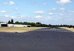
Lenhardt Airpark (FAA LID: 7S9), is a privately owned, public use airport located 3 miles (4.8 km) east of Hubbard in Marion County, Oregon, USA.
External links
- Resources for this airport:
- FAA airport information for 7S9
- AirNav airport information for 7S9
- FlightAware airport information and live flight tracker
- SkyVector aeronautical chart for 7S9
This article is issued from Wikipedia - version of the 9/18/2014. The text is available under the Creative Commons Attribution/Share Alike but additional terms may apply for the media files.