Lone Oak, Tennessee
| Lone Oak | |
|---|---|
| Census-designated place | |
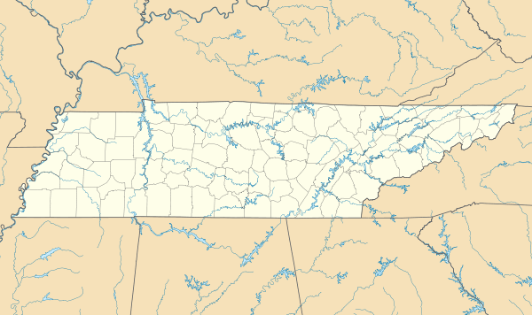 Lone Oak  Lone Oak Location within the state of Tennessee | |
| Coordinates: 35°12′2″N 85°21′51″W / 35.20056°N 85.36417°WCoordinates: 35°12′2″N 85°21′51″W / 35.20056°N 85.36417°W | |
| Country | United States |
| State | Tennessee |
| County | Sequatchie |
| Area[1] | |
| • Total | 6.472 sq mi (16.76 km2) |
| • Land | 6.472 sq mi (16.76 km2) |
| • Water | 0 sq mi (0 km2) |
| Elevation | 2,005 ft (611 m) |
| Population (2010) | |
| • Total | 1,206 |
| • Density | 190/sq mi (72/km2) |
| Time zone | Central (CST) (UTC-6) |
| • Summer (DST) | CDT (UTC-5) |
| GNIS feature ID | 1291847[2] |
Lone Oak (also Browns Chapel or Top of the Mountain) is an unincorporated community and census-designated place (CDP) in southern Sequatchie County, Tennessee, United States. It lies along U.S. Route 127 south of the city of Dunlap, the county seat of Sequatchie County.[3] Its elevation is 2,005 feet (611 m).[2] As of the 2010 census, its population was 1,206.[4]
Lone Oak is part of the Chattanooga, TN–GA Metropolitan Statistical Area.
References
- ↑ "US Gazetteer files: 2010, 2000, and 1990". United States Census Bureau. 2011-02-12. Retrieved 2011-04-23.
- 1 2 "Lone Oak, Tennessee". Geographic Names Information System. United States Geological Survey. Retrieved 2008-05-16.
- ↑ Rand McNally. The Road Atlas '05. Chicago: Rand McNally, 2005, p. 95.
- ↑ "American FactFinder". United States Census Bureau. Retrieved 2011-05-14.
Municipalities and communities of Sequatchie County, Tennessee, United States | ||
|---|---|---|
| City | ||
| CDP | ||
| Unincorporated community | ||
This article is issued from Wikipedia - version of the 7/31/2016. The text is available under the Creative Commons Attribution/Share Alike but additional terms may apply for the media files.