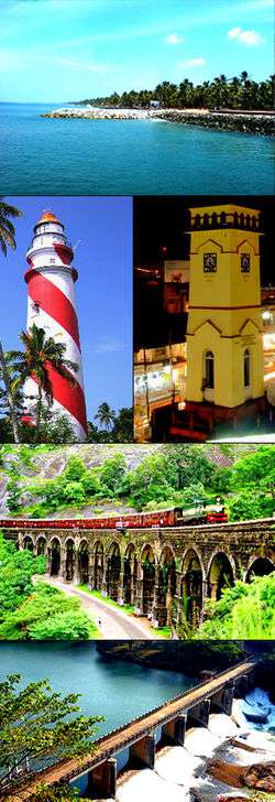
Mangad
| Mangad | |
|---|---|
| village | |
 Mangad  Mangad Location in Kerala, India | |
| Coordinates: 10°40′45″N 76°11′10″E / 10.67917°N 76.18611°ECoordinates: 10°40′45″N 76°11′10″E / 10.67917°N 76.18611°E | |
| Country |
|
| State | Kerala |
| District | Thrissur |
| Talukas | Talappilly |
| Government | |
| • Type | Panchayati raj (India) |
| • Body | Gram panchayat |
| Languages | |
| • Official | Malayalam, English |
| Time zone | IST (UTC+5:30) |
| PIN | 6XXXXX |
| ISO 3166 code | IN-KL |
| Vehicle registration | KL- |
| Nearest city | Wadakanchery |
| Lok Sabha constituency | Alathur |
| Vidhan Sabha constituency | kunnamkulam |
Mangad is a village in Thrissur district in the state of Kerala, India.There are others places called Mangad in Kasaragod, Kannur and Kollam.[1]
References
- ↑ "Census of India : List of villages by Alphabetical : Kerala". Registrar General & Census Commissioner, India. Retrieved 2008-12-10.
This article is issued from Wikipedia - version of the 10/21/2016. The text is available under the Creative Commons Attribution/Share Alike but additional terms may apply for the media files.
