Maricopa Colony, Arizona
| Maricopa Colony, Arizona | |
|---|---|
| CDP | |
 Maricopa Colony, Arizona Location in the United States | |
| Coordinates: 33°22′35″N 112°14′12″W / 33.37639°N 112.23667°WCoordinates: 33°22′35″N 112°14′12″W / 33.37639°N 112.23667°W | |
| Country | United States |
| State | Arizona |
| County | Maricopa |
| Population (2010) | |
| • Total | 709 |
| Time zone | MST (no DST) (UTC-7) |
Maricopa Colony is a census-designated place (CDP) in Maricopa County, Arizona, United States, located in the Gila River Indian Community. The population was 709 at the 2010 census. It is located near the Phoenix Metropolitan Area, around Baseline Road and 83rd Avenue.
Demographics
As of the census[1] of 2010, there were 709 people residing in the CDP. The racial makeup of the CDP was 1.27% White, 0.28% Black or African American, 92.24% Native American, 0.14% Asian, 3.10% from other races, and 2.96% from two or more races. 14.25% of the population were Hispanic or Latino of any race.
Municipalities and communities of Maricopa County, Arizona, United States | ||
|---|---|---|
| Cities | 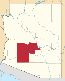 | |
| Towns | ||
| CDPs | ||
| Unincorporated communities |
| |
| Indian reservations | ||
| Ghost towns | ||
| Footnotes | ‡This populated place also has portions in an adjacent county or counties | |
Notes
This article is issued from Wikipedia - version of the 10/13/2015. The text is available under the Creative Commons Attribution/Share Alike but additional terms may apply for the media files.