Nazigo
| Nazigo | |
|---|---|
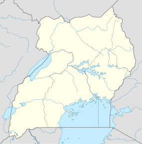 Nazigo Map of Uganda showing the location of Nazigo. | |
| Coordinates: 00°38′31″N 32°59′24″E / 0.64194°N 32.99000°E | |
| Region | Central Region of Uganda |
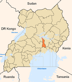
| District | Kayunga District |
| County | Ntenjeru County |
| Sub-county | Nazigo Sub-county |
| Elevation | 1,100 m (3,600 ft) |
| Time zone | EAT (UTC+3) |
Nazigo is a town in Kayunga District in the Central Region of Uganda.
Location
The town is on the main road between Kayunga in Kayunga District and Njeru in Buikwe District. Nazigo is approximately 12 kilometres (7.5 mi), by road, south of Kayunga, the site of the district headquarters,[1] and approximately 36 kilometres (22 mi), by road, north of Njeru.[2] The coordinates of Nazigo are 0°38'31.0"N, 32°59'24.0"E (Latitude:0.6419; Longitude:32.9900).[3]
Overview
Nazigo is the site of the headquarters of Nazigo Sub-county, one of the four sub-counties in Ntenjeru County, a constituent of Kayunga District.
The town is also the home of the Nazigo Teacher Training College, administered by the Church of Uganda. Negotiations are underway, between the church and Muteesa I Royal University for the university to take over the college and transform it into its Faculty of Education, thus creating a campus in Nazigo.
Points of interest
The following additional points of interest lie within the town or close to its borders:
- offices of Nazigo Town Council
- Nazigo central market
- Nazigo police station
- Nazigo Health Centre III, a health unit administered by the Uganda Ministry of Health
See also
External links
References
- ↑ GFC (21 July 2015). "Road Distance Between Kayunga And Nazigo With Route Marker". Globefeed.com (GFC). Retrieved 21 July 2015.
- ↑ GFC (21 July 2015). "Map Showing Nazigo And Njeru With Route Marker". Globefeed.com (GFC). Retrieved 21 July 2015.
- ↑ Google (21 July 2015). "Location of Nazigo at Google Maps" (Map). Google Maps. Google. Retrieved 21 July 2015.
Capital: Kayunga | ||
| Counties and sub-counties |
|  |
| Towns and villages | ||
| Transport | ||
| Energy | ||
| Health | ||
| Notable landmarks | ||
| Geography | ||
| Education |
| |
| Notable people | ||
Coordinates: 00°38′31″N 32°59′24″E / 0.64194°N 32.99000°E