Nsong HQ
See also: Nsong Village
| Nsong HQ | |
|---|---|
| village | |
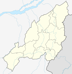 Nsong HQ  Nsong HQ Location in Nagaland, India | |
| Coordinates: 25°16′50″N 93°32′55″E / 25.280477°N 93.548648°ECoordinates: 25°16′50″N 93°32′55″E / 25.280477°N 93.548648°E | |
| Country | India |
| State | Nagaland |
| District | Peren |
| Circle | Nsong |
| Population (2011) | |
| • Total | 532 |
| Time zone | IST (UTC+5:30) |
| Census code | 268365 |
Nsong Hq is a village in the Peren district of Nagaland, India. It is located in the Nsong Circle.[1]
Demographics
According to the 2011 census of India, Nsong Hq has 108 households. The effective literacy rate (i.e. the literacy rate of population excluding children aged 6 and below) is 87.17%.[2]
| Total | Male | Female | |
|---|---|---|---|
| Population | 532 | 270 | 262 |
| Children aged below 6 years | 111 | 56 | 55 |
| Scheduled caste | 0 | 0 | 0 |
| Scheduled tribe | 523 | 265 | 258 |
| Literates | 367 | 187 | 180 |
| Workers (all) | 363 | 184 | 179 |
| Main workers (total) | 220 | 115 | 105 |
| Main workers: Cultivators | 163 | 73 | 90 |
| Main workers: Agricultural labourers | 5 | 3 | 2 |
| Main workers: Household industry workers | 0 | 0 | 0 |
| Main workers: Other | 52 | 39 | 13 |
| Marginal workers (total) | 143 | 69 | 74 |
| Marginal workers: Cultivators | 139 | 67 | 72 |
| Marginal workers: Agricultural labourers | 2 | 1 | 1 |
| Marginal workers: Household industry workers | 0 | 0 | 0 |
| Marginal workers: Others | 2 | 1 | 1 |
| Non-workers | 169 | 86 | 83 |
References
- ↑ Nagaland revenue village directory
- 1 2 "District Census Handbook - Peren" (PDF). 2011 Census of India. Directorate of Census Operations, Nagaland. Retrieved 2015-07-22.
This article is issued from Wikipedia - version of the 8/26/2016. The text is available under the Creative Commons Attribution/Share Alike but additional terms may apply for the media files.