Peardale, California
| Peardale | |
|---|---|
| Unincorporated community | |
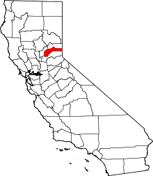
 Peardale Location of Peardale in California | |
| Coordinates: 39°11′28″N 121°00′00″W / 39.19111°N 121.00000°WCoordinates: 39°11′28″N 121°00′00″W / 39.19111°N 121.00000°W | |
| Country |
|
| State |
|
| County | Nevada |
| Elevation[1] | 826 m (2,710 ft) |
| Time zone | Pacific (PST) (UTC-8) |
| • Summer (DST) | PDT (UTC-7) |
| Area code(s) | 530 |
Peardale is an unincorporated community in Nevada County, California, United States, along State Route 174, southeast of Cedar Ridge, California and northwest of Chicago Park, California. Its elevation is 2,710 feet (830 m) above sea level.[2]
Peardale contains riparian, upland, and mixed conifer forest habitats.[3]
Peardale is located on the Nevada County Narrow Gauge Railroad.[4] The Peardale post office operated from 1916 to 1927.[4]
References
- ↑ U.S. Geological Survey Geographic Names Information System: Peardale, California
- ↑ "Peardale, CA (Nevada County)". california.hometownlocator.com. Retrieved 2008-09-06.
- ↑ "Peardale Bird Sanctuary". nevadacountylandtrust.org. Archived from the original on August 28, 2008. Retrieved 2008-09-06.
- 1 2 Durham, David L. (1998). California's Geographic Names: A Gazetteer of Historic and Modern Names of the State. Clovis, Calif.: Word Dancer Press. p. 536. ISBN 1-884995-14-4.
External links
This article is issued from Wikipedia - version of the 9/11/2016. The text is available under the Creative Commons Attribution/Share Alike but additional terms may apply for the media files.