Rajam, Andhra Pradesh
| Rajam రాజాం | |
|---|---|
| Town | |
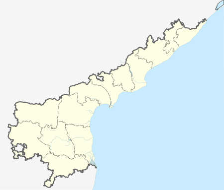
 Rajam Location in Andhra Pradesh, India | |
| Coordinates: 18°26′52″N 83°39′42″E / 18.447858°N 83.661733°ECoordinates: 18°26′52″N 83°39′42″E / 18.447858°N 83.661733°E | |
| Country | India |
| State | Andhra Pradesh |
| District | Srikakulam |
| Area[1] | |
| • Total | 27.65 km2 (10.68 sq mi) |
| Elevation[2] | 61 m (200 ft) |
| Population (2011)[3] | |
| • Total | 42,197 |
| • Density | 1,500/km2 (4,000/sq mi) |
| Languages | |
| • Official | Telugu |
| Time zone | IST (UTC+5:30) |
| PIN | 532 xxx |
| Telephone code | +91–8941 |
| Vehicle registration | AP |
| Website | Rajam Nagar Municipality |
Rajam is a town in Srikakulam district of the Indian state of Andhra Pradesh. It is a nagar panchayat and the headquarters of Rajam mandal.[4]
Geography
Rajam is located at 18.28N 83.40E.[5] It has an average elevation of 42 meters (137 feet).
Demographics
As of 2011 India census, Rajam had a population of 42,197.[3]
Government and politics
Rajam Nagar panchayat was constituted in the year 2005. It is spread over an area of 27.65 km2 (10.68 sq mi) and has 20 election wards.[1] Each represented by a ward member and the wards committee is headed by a chairperson.[6] The present municipal commissioner of the town is P.Simhachalam.[7]
References
- 1 2 "Municipalities, Municipal Corporations & UDAs" (PDF). Directorate of Town and Country Planning. Government of Andhra Pradesh. Archived from the original (PDF) on 28 January 2016. Retrieved 29 January 2016.
- ↑ "Elevation for Rajam". Veloroutes. Retrieved 12 August 2014.
- 1 2 "Census 2011". The Registrar General & Census Commissioner, India. Retrieved 20 July 2014.
- ↑ "Srikakulam district mandals" (PDF). Census of India. The Registrar General & Census Commissioner, India. pp. 196, 217. Retrieved 18 May 2015.
- ↑ Falling Rain Genomics.Razam
- ↑ "The Constitution (Seventy-Fourth Amendment) Act, 1992". India Code. Ministry of Law and Justice, Legislative Department. Retrieved 5 November 2016.
- ↑ "Municipality Contacts".
This article is issued from Wikipedia - version of the 11/5/2016. The text is available under the Creative Commons Attribution/Share Alike but additional terms may apply for the media files.