Rothesay, New Brunswick
| Rothesay | |||
|---|---|---|---|
| Town | |||
|
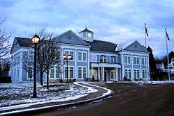
Rothesay Town Hall | |||
| |||
|
Motto: "Quinque Iuncta In Uno" (Latin) "Five United In One | |||
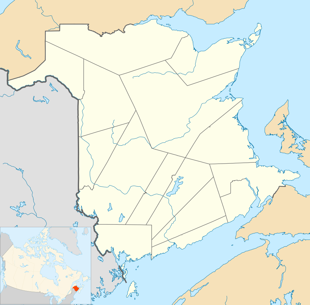 Rothesay Location of Rothesay in New Brunswick | |||
| Coordinates: 45°23′20″N 65°59′40″W / 45.38881°N 65.99440°W | |||
| Country |
| ||
| Province |
| ||
| County | Kings County | ||
| Founded | August 4, 1860 | ||
| Amalgamation | January 1, 1998 | ||
| Electoral Districts Federal |
Saint John | ||
| Provincial | Rothesay | ||
| Government | |||
| • Type | Town Council | ||
| • Mayor | Bill Bishop | ||
| • Deputy Mayor | Nancy Grant | ||
| • Councillors | Matt Alexander, Miriam Wells, Bill McGuire, Blair MacDonald, Peter Lewis, Pat Gallagher Jette. | ||
| • MPs | Wayne Long | ||
| • MLAs | Ted Flemming | ||
| Area | |||
| • Total | 34.73 km2 (13.41 sq mi) | ||
| Elevation | Sea level to 75 m (0 to 246 ft) | ||
| Population (2011) | |||
| • Total | 11,947 | ||
| • Density | 343.6/km2 (890/sq mi) | ||
| Time zone | AST (UTC−4) | ||
| • Summer (DST) | ADT (UTC−3) | ||
| Canadian postal code | E2E | ||
| Area code(s) | 506 | ||
| Telephone Exchange | 847, 848, 849, 216 | ||
| NTS Map | 021H05 | ||
| GNBC Code | DACOY | ||
| Website | www.rothesay.ca | ||


Rothesay (/ˈrɒseɪ/ or /ˈrɒθseɪ/) is a town located in Kings County, New Brunswick, Canada. It is a suburb of Saint John along the Kennebecasis River.
Geography
Located along the lower Kennebecasis River valley, Rothesay borders the city of Saint John to the southwest, and the neighbouring town of Quispamsis to the northeast. It is served by a secondary mainline of the Canadian National Railway, though there is no longer any passenger service on the line.
History
The town developed first as a shipbuilding centre and later as a summer home community for Saint John's wealthy elite with the arrival of the European and North American Railway in 1853. There is a commonly known story that the new town was named in honour of the visiting Prince of Wales, later King Edward VII, in 1860 because the area was said to have reminded him of Rothesay, Bute, in Scotland, however, an entry made in the diary of William Franklin Bunting, of Saint John, during the visit refers to the Rothesay train station. It is unlikely that the name would have taken hold less than a day after the prince's passage through the settlement, and it therefore likely predates the visit. In 1870, a Saint John-owned ship named Rothesay made a famous voyage when a 20-year-old woman named Bessie Hall took command of the fever-stricken ship and sailed it from Florida to Liverpool, England.
On January 1, 1998, the former communities of East Riverside-Kingshurst, Fairvale, Renforth, Rothesay and Wells were amalgamated to form the town of Rothesay. The town motto, Quinque luncta In Uno (Five United In One), represents the joining together of the five founding communities.
Present day
Rothesay contains many historical landmarks, such as The Rothesay Yacht Club; the former train station, one of the last remaining examples of early railway architecture in Canada; many homes that pre-date Confederation; public parks, and modern amenities. The community provides numerous schools, places of worship, and recreation areas, along with the convenience of local commercial retail and large-scale commercial developments in the nearby city of Saint John.
In 1996, the proposition that Grand-Bay and the other Kennebecasis Valley communities amalgamate with Saint John was publicly opposed. Concern that a new city would compete with Saint John for government funding and business came after the province began discussing an amalgamation of the Kennebecasis Valley communities in 1997.
In 2008, Rothesay Mayor Bill Bishop and Quispamsis Mayor Ron Maloney proposed that the two towns amalgamate to form the one municipality of Quispamsis. The two towns already share a main road, police and fire stations, and a public library.[1]
Since then, the issue has yet to be brought to the table, but residents of the two towns are willing to discuss it. Many residents want to see regional cooperation rather than a full amalgamation. Rothesay was offered to share in Qplex, a new sports complex built in Quispamsis, but refused, even though many Rothesay residents thought it was a good idea. The idea of sharing a wastewater treatment plant is in talks to reduce duplicate services between the two towns.[2]
Notable people
- Admiral Sir Charles Carter Drury, Second Sea Lord and Chief of Naval Personnel was born at Rothesay.
- Rear Admiral Daniel Lionel Hanington was sunk by a U-boat, participated in the sinking of another U-boat, eventually becoming Deputy Chief of Staff (Support) for NATO's naval command.
- John Peters Humphrey resided in Rothesay while attending boarding school, although his permanent residence was in the municipality of Hampton, less than 20 minutes outside of Rothesay.
- Billionaire industrialist James K. Irving currently resides in Rothesay, as well as some members of his family.
- Canadian aviation pioneer Wallace Rupert Turnbull invented the variable-pitch propeller in Rothesay.
See also
References
- ↑ "2 southern N.B. towns consider amalgamation". CBC.ca. January 3, 2008. Retrieved 9 November 2010.
- ↑ Mcguire, Peter (September 18, 2010). "Time for the valley to take the plunge?". Telegraph-Journal. telegraphjournal.com. p. B1. Retrieved 9 November 2010.
External links
| Wikimedia Commons has media related to Rothesay, New Brunswick. |
- Town of Rothesay - official website
- Rothesay High School - official website
- Rothesay Netherwood School - official website
- Touchstone Community School - official website
- Rothesay Park School - official website
- Rothesay Ballet School - official website
| Subdivisions | |
|---|---|
| Cities | |
| Towns | |
| |
Coordinates: 45°22′59″N 65°59′49″W / 45.38306°N 65.99694°W