Roundup, Texas
| Roundup, Texas | |
|---|---|
| Unincorporated community | |
|
Grain silos along the tracks in Roundup | |
 Roundup  Roundup | |
| Coordinates: 33°45′44″N 102°05′50″W / 33.76222°N 102.09722°WCoordinates: 33°45′44″N 102°05′50″W / 33.76222°N 102.09722°W[1] | |
| Country |
|
| State |
|
| County | Hockley |
| Region | Llano Estacado |
| Established | 1912 |
| Elevation[1] | 3,369 ft (1,027 m) |
| Population (2000) | |
| • Total | 20 |
| Time zone | CST (UTC-6) |
| ZIP | 79336 |
| Area code | 806 |
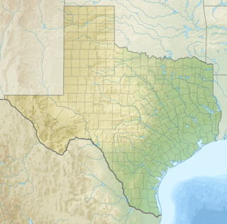
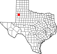
Roundup is an unincorporated community located in northeastern Hockley County. The town is located on the high plains of the Llano Estacado at the intersection of U.S. Route 84 and Farm to Market Road 2130 between Anton and Shallowater.
History
Roundup was established in 1912 and was originally located on the second Spade Ranch. The town was developed as a stop on the Santa Fe Railroad and shipped cattle, cotton, and grain for the ranch. The town's population peaked at 50 in 1948 then declined to 27 in 1980 and today the population is estimated to be around 20.[2]
Education
The town is served by the Anton Independent School District.[2]
See also
References
- 1 2 "Roundup". Geographic Names Information System. United States Geological Survey.
- 1 2 "ROUNDUP, TX". The Handbook of Texas Online. Retrieved September 30, 2016.
External links
- Roundup, TX from the Handbook of Texas Online
- U.S. Geological Survey Geographic Names Information System: Roundup
- Photos of the Llano Estacado
This article is issued from Wikipedia - version of the 11/28/2016. The text is available under the Creative Commons Attribution/Share Alike but additional terms may apply for the media files.

