Sedrup
| Sedrup | |
 Hazel Cottage at Sedrup |
|
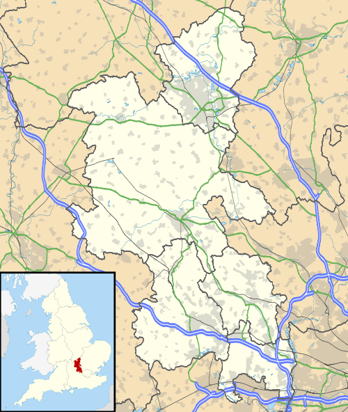 Sedrup |
|
| OS grid reference | SP8011 |
|---|---|
| Civil parish | Hartwell |
| District | Aylesbury Vale |
| Shire county | Buckinghamshire |
| Region | South East |
| Country | England |
| Sovereign state | United Kingdom |
| Post town | AYLESBURY |
| Postcode district | HP17 |
| Dialling code | 01296 |
| Police | Thames Valley |
| Fire | Buckinghamshire |
| Ambulance | South Central |
| EU Parliament | South East England |
| UK Parliament | Buckingham |
|
|
Coordinates: 51°47′53″N 0°50′36″W / 51.7980017°N 0.8433325°W
Sedrup (formerly Southwarp or Southcote) is a hamlet in Buckinghamshire, England. It is located south west of the town of Aylesbury, close to the villages of Stone (where the 2011 Census population was included), Bishopstone and Hartwell which also provide the name of the civil parish within which Sedrup lies.

North Bucks Way going through Sedrup.
Most of the hamlet is within the boundaries of the Sedrup Conservation Area.[1]
Sedrup contains 5 grade II listed structures. 4 of which are cottage and one a house.[2]
Notes
- ↑ Aylesbury Vale District Council - Sedrup Conservation Area
- ↑ Sedrup Conservation Area CONSULTATION DRAFT. Aylesbury Vale District Council 2012. June 2012. pp. 46–47. Retrieved 2 July 2015.
This article is issued from Wikipedia - version of the 11/26/2016. The text is available under the Creative Commons Attribution/Share Alike but additional terms may apply for the media files.