Botolph Claydon
| Botolph Claydon | |
 Botolph Claydon |
|
| OS grid reference | R |
|---|---|
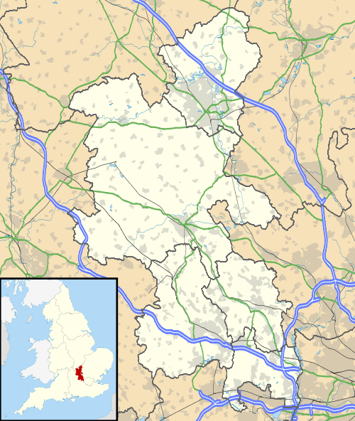
| District | Aylesbury Vale |
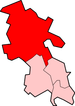
| Shire county | Buckinghamshire |
| Region | South East |
| Country | England |
| Sovereign state | United Kingdom |
| Post town | BUCKINGHAM |
| Postcode district | MK18 |
| Dialling code | 01296 |
| Police | Thames Valley |
| Fire | Buckinghamshire |
| Ambulance | South Central |
| EU Parliament | South East England |
| UK Parliament | Aylesbury |
|
|
Coordinates: 51°54′52″N 0°56′09″W / 51.914362°N 0.935769°W
Botolph Claydon is a hamlet in the civil parish of East Claydon (where the 2011 Census population is included), in Buckinghamshire, England.[1][2] It is situated about 9 miles east of Bicester in Oxfordshire, and 7 miles north west of Aylesbury.
Anciently the hamlet was called Botyl Claydon. The prefix comes from the Anglo-Saxon word botyl meaning 'house'. The word Claydon is also Anglo Saxon, and means 'clay hill'.
References
- ↑ Ordnance Survey: Landranger map sheet 165 Aylesbury & Leighton Buzzard (Thame & Berkhamsted) (Map). Ordnance Survey. 2012. ISBN 9780319229163.
- ↑ "Ordnance Survey: 1:50,000 Scale Gazetteer" (csv (download)). www.ordnancesurvey.co.uk. Ordnance Survey. 1 January 2016. Retrieved 30 January 2016.
This article is issued from Wikipedia - version of the 11/16/2016. The text is available under the Creative Commons Attribution/Share Alike but additional terms may apply for the media files.