Honeyburge
Coordinates: 51°48′50″N 1°05′53″W / 51.814°N 1.098°W
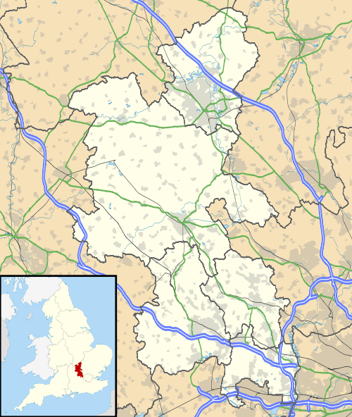
Honeyburge is a hamlet in the civil parish of Boarstall (where the 2011 Census population was included) in Buckinghamshire, England.[1][2] The hamlet is on Dane's Brook next to Boarstall Wood. Honeyburge is less than 0.5 miles (800 m) south of Boarstall village and about 8 miles (13 km) by road south of the market town of Bicester in neighbouring Oxfordshire. It is populated with 9 houses, soon to be 12 (depending on planning permission).
References
- ↑ Ordnance Survey: Landranger map sheet 164 Oxford (Chipping Norton & Bicester) (Map). Ordnance Survey. 2011. ISBN 9780319229132.
- ↑ "Ordnance Survey Election Maps". www.ordnancesurvey.co.uk. Ordnance Survey. Retrieved 18 February 2016.
This article is issued from Wikipedia - version of the 11/22/2016. The text is available under the Creative Commons Attribution/Share Alike but additional terms may apply for the media files.