Shonai Airport
| Shonai Airport 庄内空港 Shonai Kūkō | |||||||||||
|---|---|---|---|---|---|---|---|---|---|---|---|
 | |||||||||||
| IATA: SYO – ICAO: RJSY | |||||||||||
| Summary | |||||||||||
| Airport type | Public | ||||||||||
| Serves | Sakata, Yamagata | ||||||||||
| Location | Sakata, Yamagata, Japan | ||||||||||
| Elevation AMSL | 72 ft / 22 m | ||||||||||
| Coordinates | 38°48′44″N 139°47′14″E / 38.81222°N 139.78722°ECoordinates: 38°48′44″N 139°47′14″E / 38.81222°N 139.78722°E | ||||||||||
| Website | www.shonai-airport.co.jp | ||||||||||
| Map | |||||||||||
 RJSY Location in Japan | |||||||||||
| Runways | |||||||||||
| |||||||||||
| Statistics (2014) | |||||||||||
| |||||||||||
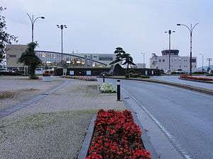
Shonai Airport (庄内空港 Shonai Kūkō) (IATA: SYO, ICAO: RJSY) is a regional airport in Sakata, Yamagata, Japan. The municipalities of Tsuruoka and Shōnai are also near the airport.
History
The airport opened in 1991 after lobbying efforts by local chambers of commerce, as the area was highly isolated from the major cities of Tokyo and Osaka, requiring half a day of travel to reach either. All Nippon Airways (ANA) initially operated service to both Tokyo (Haneda) and Osaka (Itami), but cancelled the Osaka service in 2009. There was also nonstop service to Sapporo from 1995 to 2007.
Seiko Epson has also used the airport for weekly employee charter flights to and from Matsumoto since 1997.
In December 2012, an ANA flight landing from Tokyo overran the runway at Shonai. There were no fatalities, but the airport was closed for the following day.
Airlines and destinations
| Airlines | Destinations |
|---|---|
| All Nippon Airways | Tokyo-Haneda |
References
- ↑ AIS Japan
- ↑ "Shonai Airport Statistics" (PDF) (Press release). Ministry of Land, Infrastructure, Transport and Tourism. Retrieved 8 July 2016.
External links
| Wikimedia Commons has media related to Shonai Airport. |
- (Japanese) (English)(Chinese)(Korean) Airport Website operated by Shonai Airport Building Co., Ltd
- (Japanese) Ministry of Land, Infrastructure and Transport
- Current weather for RJSY at NOAA/NWS
- Accident history for SYO at Aviation Safety Network
1 Joint civil-military use | |||||||||||
| Major hubs | |||||||||||
| International |
| ||||||||||
| Domestic |
| ||||||||||
| General aviation |
| ||||||||||
| Military | |||||||||||
| Heliports |
| ||||||||||
| Defunct | |||||||||||