Siror
| Siror | |
|---|---|
| Comune | |
| Comune di Siror | |
 Siror Location of Siror in Italy | |
| Coordinates: 46°11′N 11°50′E / 46.183°N 11.833°ECoordinates: 46°11′N 11°50′E / 46.183°N 11.833°E | |
| Country | Italy |
| Region | Trentino-Alto Adige/Südtirol |
| Province / Metropolitan city | Trentino (TN) |
| Frazioni | Nolesca, part of San Martino di Castrozza |
| Area | |
| • Total | 75.1 km2 (29.0 sq mi) |
| Elevation | 765 m (2,510 ft) |
| Population (Dec. 2004) | |
| • Total | 1,244 |
| • Density | 17/km2 (43/sq mi) |
| Demonym(s) | Siroreri |
| Time zone | CET (UTC+1) |
| • Summer (DST) | CEST (UTC+2) |
| Postal code | 38054 |
| Dialing code | 0439 |
Siror (German: Siraur) is a comune (municipality) in Trentino in the northern Italian region Trentino-Alto Adige/Südtirol, located about 60 kilometres (37 mi) east of Trento. As of 31 December 2004, it had a population of 1,244 and an area of 75.1 square kilometres (29.0 sq mi).[1]
The municipality of Siror contains the frazioni (subdivisions) Nolesca and part of San Martino di Castrozza.
Siror borders the following municipalities: Canale d'Agordo, Predazzo, Canal San Bovo, Mezzano, Imer, Tonadico and Transacqua.
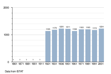
Demographic evolution
References

This article is issued from Wikipedia - version of the 1/31/2015. The text is available under the Creative Commons Attribution/Share Alike but additional terms may apply for the media files.