Star Milling and Electric Company Historic District
|
Star Milling and Electric Company Historic District | |
|
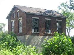
Star Mill Power Plant, May 2012 | |
  | |
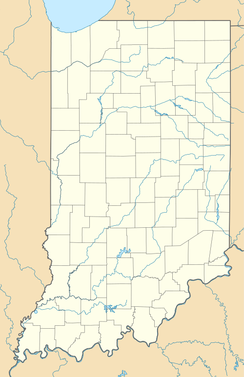
| Location | Junction of County Roads 505 W and 700 N, northeast of Howe, Lima Township, LaGrange County, Indiana |
|---|---|
| Coordinates | 41°44′54″N 85°26′14″W / 41.74833°N 85.43722°WCoordinates: 41°44′54″N 85°26′14″W / 41.74833°N 85.43722°W |
| Area | 4 acres (1.6 ha) |
| Built | 1911 |
| Architect | McKee, Ray |
| NRHP Reference # | 95001107[1] |
| Added to NRHP | September 14, 1995 |
Star Milling and Electric Company Historic District, also known as Star Mill Falls and Star Gristmill, is a historic industrial complex and national historic district located in Lima Township, LaGrange County, Indiana. The district encompasses one contributing building, one contributing site, and two contributing structures. They are a small hydroelectric powerhouse (1929), two dams (1929), and the site of the original 1870 grist mill / hydroelectric generating plant. The old mill generated electric power from 1911 to 1929, and in 1930 the new powerhouse began operation.[2]:5, 7
It was listed in the National Register of Historic Places in 1995.[1]
References
- 1 2 National Park Service (2010-07-09). "National Register Information System". National Register of Historic Places. National Park Service.
- ↑ "Indiana State Historic Architectural and Archaeological Research Database (SHAARD)" (Searchable database). Department of Natural Resources, Division of Historic Preservation and Archaeology. Retrieved 2016-05-01. Note: This includes Richard K. Muntz and Suzanne Fischer (January 1995). "National Register of Historic Places Inventory Nomination Form: Star Milling and Electric Company Historic District" (PDF). Retrieved 2016-05-01. and Accompanying photographs.
This article is issued from Wikipedia - version of the 12/2/2016. The text is available under the Creative Commons Attribution/Share Alike but additional terms may apply for the media files.


