Talas, Turkey
| Talas | |
|---|---|
| Town | |
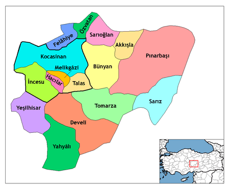 Location of Talas, Turkey within Turkey. | |
 Talas Location of Talas, Turkey within Turkey. | |
| Coordinates: 38°41′N 35°34′E / 38.683°N 35.567°ECoordinates: 38°41′N 35°34′E / 38.683°N 35.567°E | |
| Country |
|
| Region | Central Anatolia |
| Province | Kayseri |
| Government | |
| • Mayor | Rifat Yıldırım (AKP) |
| Area[1] | |
| • District | 328.86 km2 (126.97 sq mi) |
| Population (2012)[2] | |
| • Urban | 107,639 |
| • District | 113,372 |
| • District density | 340/km2 (890/sq mi) |
| Time zone | EET (UTC+2) |
| • Summer (DST) | EEST (UTC+3) |
| Website | www.talas.bel.tr |
Talas is a town in central Anatolia and a district of Kayseri Province in Turkey. The population of Talas city was 40,122 in 2000, while the district of Talas as a whole counted 60,925 people. It is located about 7km from the city of Kayseri.
History
The history of Talas, which hosted several civilizations, goes back to 1500 BC. The region saw the invasions of the ancient Persians, Greeks, and the Romans. Talas, was known as Dalassa (Greek: Δάλασσα) under Roman and later Byzantine rule, and was the hometown of the powerful Dalassenos family. It remained under the Byzantines until the battle of Manzikert in 1071, when the Seljuk Turks defeated Emperor Romanus IV Diogenes and entered Anatolia. From then on the city came first under the rule of the Anatolian Seljuk Sultanate, and from 1467 on, of the Ottoman Empire.
See also
References
- ↑ "Area of regions (including lakes), km²". Regional Statistics Database. Turkish Statistical Institute. 2002. Retrieved 2013-03-05.
- ↑ "Population of province/district centers and towns/villages by districts - 2012". Address Based Population Registration System (ABPRS) Database. Turkish Statistical Institute. Retrieved 2013-02-27.
- The information in this article is based on that in its Turkish equivalent.