Tiruvuru
| Tiruvuru తిరువూరు | |
|---|---|
| Town | |
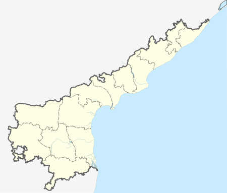
 Tiruvuru Location in Andhra Pradesh, India | |
| Coordinates: 17°06′N 80°36′E / 17.100°N 80.600°ECoordinates: 17°06′N 80°36′E / 17.100°N 80.600°E | |
| Country | India |
| State | Andhra Pradesh |
| District | Krishna |
| Mandal | Tiruvuru |
| Government[1] | |
| • Type | Nagar Panchayat |
| • Chairman | M.Krishna Kumari (Telugu Desam Party) |
| Area[1] | |
| • Total | 27.67 km2 (10.68 sq mi) |
| Population (2011) | |
| • Total | 67,521 |
| • Density | 2,400/km2 (6,300/sq mi) |
| Languages | |
| • Official | Telugu |
| Time zone | IST (UTC+5:30) |
| PIN | 521235 |
| Telephone code | +91–8673 |
| Vehicle registration | AP–16 |
| Sex ratio | male:female=1000:978 ♂/♀ |
| Literacy | 79.99%% |
| Lok Sabha constituency | Vijayawada |
| Assembly constituency | Tiruvuru (SC) |
Tiruvuru is a town in Krishna district of the Indian state of Andhra Pradesh. It is a nagar panchayat in Tiruvuru mandal of Nuzvid revenue division.[2][3]
History
Tiruvuru has a special place in history. Sri Krishna Deva Raya has visited this place during his Jaitra yatra (Victory Voyage) of Kondapalli in 1540. 20,000 Tamil Jains were murdered by Veerasaivas in olden days.
Governance
Tiruvuru Nagar Panchayat is the civic administrative body of the town. It was constituted in the year 2011 and covers an area of 27.67 km2 (10.68 sq mi).[1] The Nagar panchayat has a total of 20 wards, with seventeen wards reserved and three unreserved. The reserved wards include general and women reservations in SC, ST and BC.[4] The municipal chairman is M.Krishna Kumari and vice chairman is S.Venkata Narasimha Rao.[5]
Politics
Tiruvuru falls under the administration of Tiruvuru mandal and is represented by the Tiruvuru (SC) Assembly constituency, which in turn represents Andhra Pradesh's Vijayawada Lok Sabha constituency.[6] As of 2014 the MLA representing Tiruvuru constituency is Kokkiligadda Rakshana Nidhi of the YSR Congress Party.[7]
Economy
Agriculture is the main occupation. The Mango orchards are in abundant with Banginapalli, Totapuri varieties.[8] These are exported to cities namely Dubai, Hongkong, London and Singapore.[9]
Transport
Madhira is the nearest railway station to the village. It is administered under Secunderabad railway division of the South Central Railway zone.[10] NH 30 previously 221 passes through the town, which connects Vijayawada in Andhra Pradesh to Jagadalpur in Chhattisgarh. APSRTC operates buses to various parts of Krishna district and to long distances such as Bhadrachalam, Madira, Khammam etc.
References
- 1 2 3 "Municipalities, Municipal Corporations & UDAs" (PDF). Directorate of Town and Country Planning. Government of Andhra Pradesh. Archived from the original (PDF) on 28 January 2016. Retrieved 29 January 2016.
- ↑ "Krishna District Mandals" (PDF). Census of India. pp. 480,524. Retrieved 17 July 2015.
- ↑ "Administrative Setup". Krishna District Official Website. National Informatics Centre. Retrieved 16 July 2015.
- ↑ "Five municipalities, 3 nagar panchayats to go for elections". the Hindu. Vijayawada. 4 March 2014. Retrieved 18 February 2015.
- ↑ "YSR Congress Claims Three Civic Chief Posts in Krishna". The New Indian Express. Machilipatnam. 4 July 2014. Retrieved 17 July 2015.
- ↑ "Delimitation of Parliamentary and Assembly Constituencies Order, 2008" (pdf). Election Commission of India. pp. 20,31. Retrieved 17 July 2015.
- ↑ "Member's Report". Andhra Pradesh Legislature Assembly. Retrieved 17 July 2015.
- ↑ Srinivas, Rajulapudi (30 April 2013). "Bumper harvest of mangoes likely". The Hindu. Nuzvid (Krishna District). Retrieved 17 July 2015.
- ↑ B. MADHU GOPAL (26 May 2003). "Mangoes up for grabs". The Hindu. Retrieved 17 July 2015.
- ↑ "Gampalagudem railway station info". India Rail Info. Retrieved 30 July 2014.