Troyes – Barberey Airport
| Troyes - Barberey Airport Aéroport de Troyes - Barberey | |||||||||||||||||||
|---|---|---|---|---|---|---|---|---|---|---|---|---|---|---|---|---|---|---|---|
| IATA: QYR – ICAO: LFQB | |||||||||||||||||||
| Summary | |||||||||||||||||||
| Airport type | Public | ||||||||||||||||||
| Operator | CCI de Troyes et de l'Aube | ||||||||||||||||||
| Serves | Troyes, France | ||||||||||||||||||
| Location | Barberey-Saint-Sulpice | ||||||||||||||||||
| Elevation AMSL | 388 ft / 118 m | ||||||||||||||||||
| Coordinates | 48°19′18″N 004°01′00″E / 48.32167°N 4.01667°ECoordinates: 48°19′18″N 004°01′00″E / 48.32167°N 4.01667°E | ||||||||||||||||||
| Website | www.troyes.aeroport.fr | ||||||||||||||||||
| Maps | |||||||||||||||||||
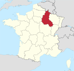 Location of Champagne-Ardenne region in France | |||||||||||||||||||
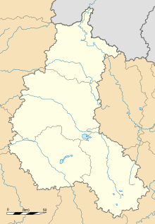 LFQB Location of airport in Champagne-Ardenne region | |||||||||||||||||||
| Runways | |||||||||||||||||||
| |||||||||||||||||||
|
Sources: French AIP[1] | |||||||||||||||||||
Troyes – Barberey Airport or Aéroport de Troyes - Barberey (IATA: QYR, ICAO: LFQB) is an airport located 2 km (1.1 nautical miles) northwest of Troyes[1] in Barberey-Saint-Sulpice, both communes of the Aube département in the Champagne-Ardenne région of France.
Facilities
The airport resides at an elevation of 388 feet (118 m) above mean sea level. It has three runways: 17/35 with an asphalt surface measuring 1,650 by 30 metres (5,413 ft × 98 ft); 17R/35L with a grass surface measuring 900 by 100 metres (2,953 ft × 328 ft); and 05/23 with a grass surface measuring 780 by 100 metres (2,559 ft × 328 ft).[1]
Airlines and destinations
There are no services to and from Troyes since Danube Wings, the last remaining carrier, cancelled its seasonal service to Bastia in January 2013.[2]
References
- 1 2 3 LFQB – Troyes Barberey. AIP from French Service d'information aéronautique, effective 8 December 2016.
- ↑ http://www.ch-aviation.ch/portal/news/16046-danubewings-drops-french-regional-routes
External links
- Official website
- Aéroport de Troyes-Barberey page at CCI de Troyes et de l'Aube (French)
- Aéroport de Troyes - Barberey page at Union des Aéroports Français (French)
- Airport information for LFQB at World Aero Data. Data current as of October 2006.
- Current weather for LFQB at NOAA/NWS