Tuscany-Canterbury, Baltimore
|
Tuscany-Canterbury Historic District | |
|
Tuscany-Canterbury | |
   | |
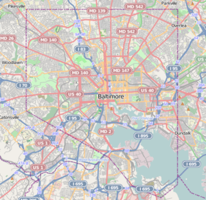
| Location | Roughly bounded by Charles St., University Pkwy., Stony Run, and Warrenton Rd., Baltimore, Maryland |
|---|---|
| Coordinates | 39°20′16″N 76°37′18″W / 39.33778°N 76.62167°WCoordinates: 39°20′16″N 76°37′18″W / 39.33778°N 76.62167°W |
| Area | 85 acres (34 ha) |
| Architect | Morris, George R.,; Ahlers, John A., et al. |
| Architectural style | Late 19th And 20th Century Revivals, Tudor Revival, et al. |
| NRHP Reference # | 01001182[1] |
| Added to NRHP | October 28, 2001 |
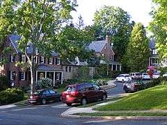
Tuscany-Canterbury is a historic neighborhood in northern Baltimore, Maryland, United States. Its history, development, and flavor are outlined in Eileen Higham's book Tuscany-Canterbury: A Baltimore Neighborhood History.[2][3]
It was listed on the National Register of Historic Places in 2001.[1]
References
- 1 2 National Park Service (2010-07-09). "National Register Information System". National Register of Historic Places. National Park Service.
- ↑ Maryland Historical Society (March 22, 2005), ISBN 978-0938420774
- ↑ Dean R. Wagner (February 2001). "National Register of Historic Places Registration: Tuscany-Canterbury Historic District" (PDF). Maryland Historical Trust. Retrieved 2016-04-01.
External links
- Tuscany-Canterbury Historic District, Baltimore City, including photo from 2000, and boundary map at Maryland Historical Trust
This article is issued from Wikipedia - version of the 11/29/2016. The text is available under the Creative Commons Attribution/Share Alike but additional terms may apply for the media files.


