Annagh Hill
| Annagh Hill | |
|---|---|
| An tEannach Meaning Marsh or Bog | |
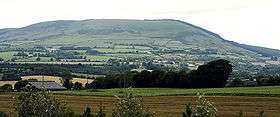 Annagh Hill, from the southeast | |
| Highest point | |
| Elevation | 454 m (1,490 ft) [1] |
| Prominence | 231 m (758 ft) [1] |
| Listing | Marilyn |
| Geography | |
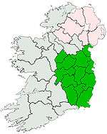
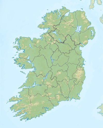 Annagh Hill Location in Ireland | |
| Location | Wexford, Ireland |
| Parent range | Wicklow Mountains |
| OSI/OSNI grid | T100680 |
| Topo map | OSi Discovery 62 |
Annagh Hill (An tEannach) meaning marsh or bog in Gaelic. It is a Hill in the North of Co. Wexford.
There is said to be a Fairy Ring on the Hill along with other Iron Age sites.
The South side of the Hill is privately owned by long standing family's in the area,But the North side is owned by Coillte .
Geography

Bann River and Annagh Hill
Annagh Hill is separated from Croghan Mountain to the north by the "Wicklow Gap", not to be confused with the Wicklow Gap in County Wicklow. Except for the southeastern face (see photo) it is covered in coniferous forestry.
It overlooks the villages of Monaseed and Hollyfort to the south, across the valley of the Blackwater stream
References
- 1 2 "Dublin/Wicklow Area - Annagh Hill". MountainViews. Ordnance Survey Ireland. Retrieved June 30, 2015.
| Wikimedia Commons has media related to Annagh Hill. |
See also
Lists of Marilyns | |
|---|---|
This article is issued from Wikipedia - version of the 11/18/2016. The text is available under the Creative Commons Attribution/Share Alike but additional terms may apply for the media files.