Tonelagee
| Tonelagee | |
|---|---|
| Tóin le Gaoith | |
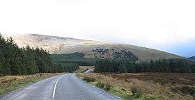 Tonelagee from Wicklow Gap road heading east | |
| Highest point | |
| Elevation | 817 m (2,680 ft) |
| Prominence | 202 m (663 ft) |
| Listing | Marilyn, Hewitt |
| Coordinates | 53°03′13″N 6°22′56″W / 53.053606°N 6.382171°WCoordinates: 53°03′13″N 6°22′56″W / 53.053606°N 6.382171°W |
| Naming | |
| Translation | back-side to the wind (Irish) |
| Geography | |
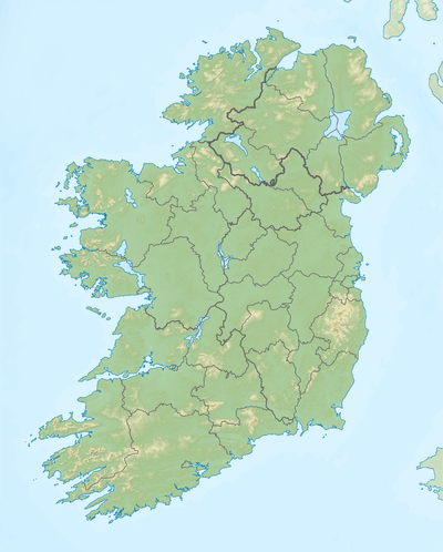 Tonelagee Location in Ireland | |
| Location | County Wicklow, Republic of Ireland |
| Parent range | Wicklow Mountains |
| OSI/OSNI grid | O082016 |
| Topo map | OSi Discovery 56 |
| Climbing | |
| Easiest route | From a car park at the top of nearby Glenmacnas Waterfall (on the Sally Gap side) where there are routes to the summit on either side of the lake and stream. |
Tonelagee (Irish: Tóin le Gaoith[1], meaning "back-side to the wind") is a mountain with a height of 817 m (2,680 ft) in County Wicklow, Republic of Ireland.
Geography
The mountain lies just north of the high point of the Wicklow Gap in the centre of the Wicklow Mountains. Tonelagee is the third highest of the Wicklow Mountains and the 33rd highest peak in Ireland.[2] From the summit the distinctive heart-shaped Lough Ouler is visible on the eastern side of the mountain. During a sunrise or on a clear day, towards the east one can see Snowdonia in Wales, at a distance of about 90 miles.[3]
Access to the summit

Summit pillar
Starting from the Wicklow Gap is possible to reach on foot the summit of the mountain.[4]
See also
References
- ↑ "Tóin le Gaoith". Placenames Database of Ireland. Dublin City University. Retrieved November 30, 2016.
- ↑ Mountain Views (retrieved 7 April 2007)
- ↑ Wicklow Mountains National Park Lough Ouler (retrieved 7 April 2007)
- ↑ "Tonelagee Mountain". mountainviews.ie. Retrieved November 30, 2016.
External links
![]() Media related to Tonelagee at Wikimedia Commons
Media related to Tonelagee at Wikimedia Commons
Lists of Marilyns | |
|---|---|
This article is issued from Wikipedia - version of the 12/1/2016. The text is available under the Creative Commons Attribution/Share Alike but additional terms may apply for the media files.