Mullaghcleevaun
| Mullaghcleevaun | |
|---|---|
| Mullach Cliabháin | |
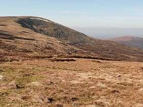 Mullaghcleevaun summit and Lough Cleevaun | |
| Highest point | |
| Elevation | 849 m (2,785 ft) [1][2] |
| Prominence | 374 m (1,227 ft) [1] |
| Listing | Hewitt, Marilyn |
| Coordinates | 53°06′13″N 6°24′24″W / 53.103626°N 6.406724°WCoordinates: 53°06′13″N 6°24′24″W / 53.103626°N 6.406724°W |
| Naming | |
| Translation | summit of the cradle/basket (Irish) |
| Pronunciation | Irish: [ˈmˠʊl̪ˠəx ˈclʲiəwaːnʲ] |
| Geography | |
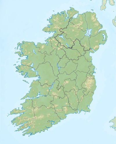 Mullaghcleevaun Location in Ireland | |
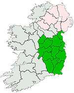
| Location | County Wicklow, Republic of Ireland |
| Parent range | Wicklow Mountains |
| OSI/OSNI grid | O067070 |
| Topo map | OSi Discovery 56 |
Mullaghcleevaun (from Irish Mullach Cliabháin, meaning "summit of the cradle")[3] is a mountain in County Wicklow, Republic of Ireland.
Geography
At 849 m (2,785 ft) tall, the mountain is the second highest of the Wicklow Mountains and the 20th highest in Ireland.[1]
Mullaghcleevaun is believed to have been named after the rounded depression near the summit, which has a small lake (Lough Cleevaun) inside it.[1] Mullaghcleevaun sits roughly in the middle of the Wicklow Mountains and 3 km west of the Military Road. The massif also includes the summit of Mullaghcleevaun East Top (795 m).[1]
Access to the summit
The most common ascent of the mountain is made via Black Hill from the carpark 3 km uphill from the small hillside town of Lacken. The hills of Wales can be seen on a clear day from the triangulation pillar on the summit.
See also
External links
References
Lists of Marilyns | |
|---|---|