Keadeen
| Keadeen | |
|---|---|
| Céidín | |
 | |
| Highest point | |
| Elevation | 635 m (2,083 ft) [1] |
| Prominence | 334 m (1,096 ft) [1] |
| Listing | Marilyn, Hewitt |
| Coordinates | 52°57′02″N 6°34′53″W / 52.95056°N 6.58139°WCoordinates: 52°57′02″N 6°34′53″W / 52.95056°N 6.58139°W |
| Geography | |
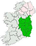
 Keadeen Location in Ireland | |
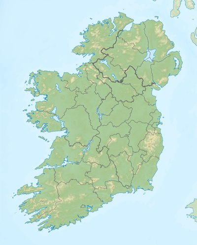
| Location | Wicklow, Ireland |
| Parent range | Wicklow Mountains |
| OSI/OSNI grid | S953899 |
| Topo map | OSi Discovery 62 |
Keadeen (Irish: Céidín) is a mountain of the Wicklow Mountains in western County Wicklow.
Geography
Located near Donard and Baltinglass, the mountain overlooks the Glen of Imaal to the north, Kiltegan to the south and Kilranelagh to the west.
History
Dwyer McAllister's cottage is at the northern base of Keadeen at Derrynamuck, where Michael Dwyer, the 1798 rebellion United Irishmen leader, escaped from the British soldier's siege on Sam McAllister cottage in December 1799 up the slopes of the mountain.
References
- 1 2 "Dublin/Wicklow Area - Keadeen Mountain". MountainViews. Ordnance Survey Ireland. Retrieved June 30, 2015.
See also
External links
- Keadeen Mountain MountainViews.ie
Lists of Marilyns | |
|---|---|
This article is issued from Wikipedia - version of the 9/26/2016. The text is available under the Creative Commons Attribution/Share Alike but additional terms may apply for the media files.