Barrowford
| Barrowford | |
 Gisburn Road |
|
 Barrowford |
|
| Population | 6,171 (2011) |
|---|---|
| OS grid reference | SD855395 |
| Civil parish | Barrowford |
| District | Pendle |
| Shire county | Lancashire |
| Region | North West |
| Country | England |
| Sovereign state | United Kingdom |
| Post town | NELSON |
| Postcode district | BB9 |
| Dialling code | 01282 |
| Police | Lancashire |
| Fire | Lancashire |
| Ambulance | North West |
| EU Parliament | North West England |
| UK Parliament | Pendle |
|
|
Coordinates: 53°51′04″N 2°13′16″W / 53.851°N 2.221°W
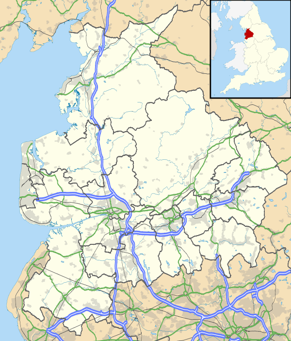
Barrowford is a large village and civil parish in the Pendle district of Lancashire, England. It is situated to the north of Nelson on the other side of the M65 motorway, and forms part of the Nelson conurbation. It also comprises the area of Lowerford and sometimes gets confused with its neighbour Higherford. The parish has a population of 6,171.[1]
Barrowford is situated on the Marsden–Gisburn–Long Preston Turnpike. One of the original toll houses, dating from 1804–05, can still be seen at the junction with the road to Colne, complete with a reproduction of the table of tolls which were paid. The toll house was restored in the 1980s and is owned by the trust which operates nearby Pendle Heritage Centre. Barrowford is located about a mile from the Leeds and Liverpool Canal, and a set of seven locks leads to the highest section of the canal between Barrowford and Barnoldswick.
About a mile on from the locks heading towards Leeds is Foulridge Tunnel known locally as the mile tunnel. The packhorse bridge near Higherford Mill is the oldest in Barrowford, dating back to the end of the 16th century. It formerly lay on the old main road to Gisburn which was superseded by the Turnpike road built in 1804. In September 2006 this mill was featured on the BBC's Restoration programme.
The village has a modern Anglican church (St Thomas') built to replace the original church of 1839 which burnt down in 1964. St Thomas's Primary School recently moved from its Victorian premises to a new building next door to the church.
The village has two rivers. Pendle Water flows through the town with trout that can often be seen. The other river is Colne Water, which joins Pendle Water behind the site of the now demolished Samuel Holden cotton mill and this river flows down from the moors above the town of Colne, again this river holds good trout.
According to the United Kingdom Census 2011, the parish has a population of 6,171,[1] an increase from 6,039 in the 2001 census.[2]
Governance
Barrowford was once a township in the ancient parish of Whalley. This became a civil parish in 1866, however in 1894 the urban areas became and urban district (until 1974). The part of Blacko parish historically in Lancashire was created from the remainder, with the exception of a small area across Pendle Water which became part of Nelson.[3] The parish is split between the Barrowford and Blacko and Higherford wards of Pendle Borough Council.[4][5]
Industrial heritage
Barrowford has been a centre for textile production since at least the 16th century, when a fulling mill is recorded in the village. Until the late 18th century, the manufacture of woollen cloth was the primary industry, but in 1780, the fulling mill was rebuilt by Abraham Hargreaves as a cotton spinning mill.
It was powered by a water wheel and fed by water drawn off at the weir on Pendle Water. What was the mill reservoir is now the ornamental pond in Barrowford Park, whilst remains of the mill survive in the corner of the nearby children's playground. For the next 50 years, cotton cloth was woven in the many handloom weavers' cottages which can still be seen along the main road through the village.
As power looms were introduced into the cotton industry in north east Lancashire in the 1820s, weaving gradually became a factory industry and production moved from the home to the massive weaving sheds which began to be constructed. Until recently, one of the last examples of a working weaving shed could be seen at the East Lancashire Towel Company, but the firm, which still produces traditional Terry towelling on Lancashire looms moved to premises in Nelson, and then ceased United Kingdom production. The site of the former mill was redeveloped by Booths, which opened in November 2014.
Another weaving shed at Higherford Mill has been converted to artists' workshops. By the 1860s, the village was heavily reliant on the cotton mills for employment, and during the American Civil War was badly affected by the Cotton Famine, along with the rest of Lancashire. The wall alongside the river opposite Barrowford Park was built during this period to provide work for unemployed weavers: the milestone, which projects from the wall, is dated 1866. However little remains of Barrowford's industrial past, and the village today is a tourist destination and home to commuters who work across the county.
Local media
The daily newspaper, Lancashire Telegraph, covers Barrowford in its Burnley, Pendle and Rossendale edition. The Nelson Leader, which is a weekly publication, also covers Barrowford.
See also
References
Citations
- 1 2 "Key Figures for 2011 Census: Key Statistics". Office for National Statistics. Retrieved 5 September 2015.
- ↑ Office for National Statistics : Census 2001 : Parish Headcounts : Pendle Retrieved 5 September 2015
- ↑ "Barrowford CP/Tn through time". visionofbritain.org.uk. GB Historical GIS / University of Portsmouth. Retrieved 5 September 2015.
- ↑ "Barrowford". Ordnance Survey Linked Data Platform. Ordnance Survey. Retrieved 5 September 2015.
- ↑ "Higham with Pendleside". Ordnance Survey Linked Data Platform. Ordnance Survey. Retrieved 5 September 2015.
External links
| Wikimedia Commons has media related to Barrowford. |
- Jim Sanderson's Barrowford - a selection of personal information and topics of historical interest
- Barrowford Parish Website
- BBC Sunday Stroll in Blacko, Higherford and Barrowford