Camp Senia Historic District
|
Camp Senia Historic District | |
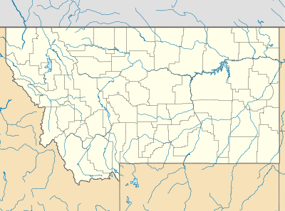  | |
| Nearest city | Red Lodge, Montana |
|---|---|
| Coordinates | 45°10′15″N 109°28′34″W / 45.17083°N 109.47611°WCoordinates: 45°10′15″N 109°28′34″W / 45.17083°N 109.47611°W |
| Architect | Croonquist,Alfred; Et al. |
| Architectural style | Other |
| NRHP Reference # |
88000441 (original) 15000511 (increase) |
| Significant dates | |
| Added to NRHP | April 14, 1988[1] |
| Boundary increase | August 10, 2015 |
Camp Senia is a district of historic cabins near Red Lodge, Montana. Five of the approximately 25 cabins were burned on July 29, 2008 during the Cascade Fire, a large forest fire.[2] The camp was originally a dude ranch.[3]
References
- ↑ National Park Service (2008-04-15). "National Register Information System". National Register of Historic Places. National Park Service.
- ↑ "Camp Senia road seems otherworldly". Billings Gazette. 2008-07-30.
- ↑ "History of YRBA". About YRBA. Yellowstone-Bighorn Research Association. 2008-07-30.
| Topics | |
|---|---|
| Lists by states |
|
| Lists by insular areas | |
| Lists by associated states | |
| Other areas | |
| |
This article is issued from Wikipedia - version of the 11/27/2016. The text is available under the Creative Commons Attribution/Share Alike but additional terms may apply for the media files.