Charcoal Kilns (Eureka, Utah)
|
Charcoal Kilns | |
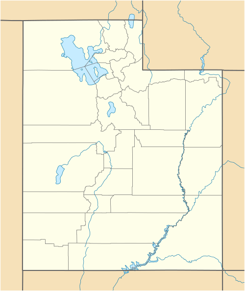  | |
| Nearest city | Eureka, Utah |
|---|---|
| Coordinates | 39°58′25″N 112°4′0″W / 39.97361°N 112.06667°WCoordinates: 39°58′25″N 112°4′0″W / 39.97361°N 112.06667°W |
| Area | less than one acre |
| MPS | Tintic Mining District MRA |
| NRHP Reference # | 79003491[1] |
| Added to NRHP | March 14, 1979 |
The Charcoal Kilns near Eureka, Utah were listed on the National Register of Historic Places in 1979. The listing included two charcoal kilns that each are about six feet in diameter and four feet deep, built out of stone. They are believed to have been built or used to support the Wyoming Smelter in 1871.[1][2][3]
See also
- Beck No. 2 Mine, Eureka, Utah, NRHP-listed
- Lime Kilns, Eureka, Utah, NRHP-listed
- Soldier Creek Kilns, Stockton, Utah, NRHP-listed
- Frisco Charcoal Kilns, Milford, Utah, NRHP-listed
References
- 1 2 National Park Service (2010-07-09). "National Register Information System". National Register of Historic Places. National Park Service.
- ↑ Philip F. Natarianni (October 1977). "National Register of Historic Places Inventory/Nomination: Historic Resources of the Tintic Mining District: Charcoal Kilns" (PDF). National Park Service. and accompanying photos
- ↑ Philip. F. Notarianni (October 1977). "National Register of Historic Places Inventory/Nomination: Historic Resources of the Tintic Mining District (Partial Inventory: Historic and Architectural Properties) (incomplete)" (PDF).
| Topics | |
|---|---|
| Lists by states |
|
| Lists by insular areas | |
| Lists by associated states | |
| Other areas | |
| |
This article is issued from Wikipedia - version of the 11/29/2016. The text is available under the Creative Commons Attribution/Share Alike but additional terms may apply for the media files.