Crowmarsh
| Crowmarsh | |
 Crowmarsh |
|
| Area | 12.02 km2 (4.64 sq mi) |
|---|---|
| Population | 2,830 (2011 Census)[1] |
| – density | 235/km2 (610/sq mi) |
| Civil parish | Crowmarsh |
| District | South Oxfordshire |
| Shire county | Oxfordshire |
| Region | South East |
| Country | England |
| Sovereign state | United Kingdom |
| Post town | Wallingford |
| Postcode district | OX 10 |
| Dialling code | 01491 |
| Police | Thames Valley |
| Fire | Oxfordshire |
| Ambulance | South Central |
| EU Parliament | South East England |
| UK Parliament | Henley |
|
|
Coordinates: 51°35′N 1°06′W / 51.58°N 1.10°W
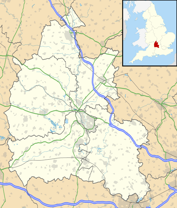
Crowmarsh is a fairly large, mostly rural civil parish in South Oxfordshire, England east and southeast of the town of Wallingford on the opposite bank of the Thames and may also refer to its larger district council ward which extends to Ipsden and Nuffield.
Formation and constituent settlements
The civil parish was formed on 1 April 1932 by the amalgamation of four existing parishes.[2]
The four parishes retain their individual identities. Crowmarsh Gifford and Newnham Murren are contiguous villages divided by The Street, the road which leads to Wallingford Bridge. In the south of the parish are the hamlet-size villages of North Stoke and Mongewell.[3]
Governance
As a civil parish, Crowmarsh has three tiers of local government.
The lowest tier is Crowmarsh Parish Council, which has responsibility for minor matters such as allotments, open spaces and community halls.[4] The parish council has 12 members, elected for a four-year term.[5]
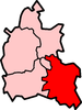
The middle level is South Oxfordshire District Council (withresponsibility for matters such as housing, planning and waste collection). The district is divided into 19 wards for the elections of councillors. Crowmarsh ward also comprises the parishes of Ipsden and Nuffield and elects one councillor to the 48 member authority.[6]
The upper tier of local government is Oxfordshire County Council, which administers "wide area" strategic services such as education, highways and social services. Crowmarsh forms part of the Benson electoral division, returning one councilor to the 74 member body.[7]
External links
- "Crowmarsh". Oxfordshire Wildlife and Landscape Study. Oxfordshire County Council. 2004. Retrieved 15 November 2009.
- "Crowmarsh Parish Appraisal". 2004. Retrieved 15 November 2009.
Crowmarsh Gifford Community Site
References
- Pedgley, B; Pedgley, D (1990). Crowmarsh – A history of Crowmarsh Gifford, Newnham Murren, Mongewell and North Stoke. Crowmarsh History Group. ISBN 0-9516305-0-4.
- ↑ "Parish Headcounts". 2001 Census: Neighbourhood Statistics. United Kingdom: Office for National Statistics. Retrieved 15 November 2009.
- ↑ Ministry of Health Order No.76241
- ↑ "Table B. Areas altered between 26th April 1931 and 30th June 1932, showing constitution as at the latter date in terms of constitution as at the former date, together with particulars of acreage and population (A.C., M.B.s, U.D.s, R.D.s and C.P.s)". Census of England and Wales, 1931. County of Oxford (Part II). HMSO. 1933. p. 10. Retrieved 15 November 2009.
- ↑ "Parish Council Details: Crowmarsh". South Oxfordshire District Council. Retrieved 15 November 2009.
- ↑ "Parish Council". Crowmarsh Gifford Community Site. Retrieved 15 November 2009.
- ↑ "The District of South Oxfordshire (Electoral Changes) Order 2001 (S.I.2002/49)" (PDF). Office of Public Sector Information. 20 December 2001. Retrieved 15 November 2009.
- ↑ "County Councillors". Oxfordshire County Council. Retrieved 15 November 2009.