Dancing Rabbit Creek Treaty Site
|
Dancing Rabbit Creek Treaty Site | |
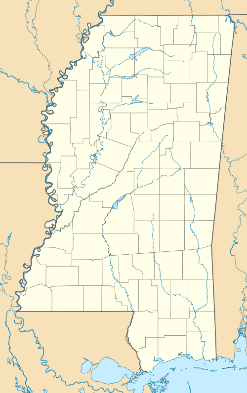  | |
| Nearest city | Macon, Mississippi |
|---|---|
| Coordinates | 33°0′35.56″N 88°45′15.03″W / 33.0098778°N 88.7541750°WCoordinates: 33°0′35.56″N 88°45′15.03″W / 33.0098778°N 88.7541750°W |
| Built | 1830 |
| NRHP Reference # | 73001024 |
| USMS # | 103-MSH-6001-NHL-ML |
| Significant dates | |
| Added to NRHP | April 3, 1973[1] |
| Designated NHL | June 19, 1996[2] |
| Designated USMS | May 1, 1986[3] |
Dancing Rabbit Creek Treaty Site was a Choctaw Indian gathering place that is significant for being the location of the treaty signing that led to the removal of Choctaws from the east to the west of the Mississippi River. This opened a vast area for settlement by Americans of European descent. It was the model for similar treaties with other Indian tribes. It was declared a Mississippi Landmark in 1986[3] and a National Historic Landmark in 1996.[2][4]
References
- ↑ National Park Service (2007-01-23). "National Register Information System". National Register of Historic Places. National Park Service.
- 1 2 "Dancing Rabbit Creek Treaty Site". National Historic Landmark summary listing. National Park Service. Retrieved 2007-10-23.
- 1 2 "Mississippi Landmarks" (PDF). Mississippi Department of Archives and History. May 2008. Retrieved May 14, 2009.
- ↑ Jack D. Elliot, Jr.; Mark R. Barnes (April 1994). "National Historic Landmark Nomination: Dancing Rabbit Creek Treaty Site / Chukfi Ahila Bok (Choctaw for Dancing Rabbit Creek)" (pdf). National Park Service. and Accompanying 5 photos, from 1972 and 1992. (1.93 MB)
External links
| Topics | |
|---|---|
| Lists by states |
|
| Lists by insular areas | |
| Lists by associated states | |
| Other areas | |
| |
This article is issued from Wikipedia - version of the 11/25/2016. The text is available under the Creative Commons Attribution/Share Alike but additional terms may apply for the media files.