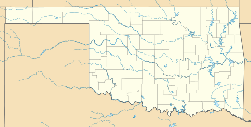
Devil's Canyon (Kiowa County, Oklahoma)
Coordinates: 34°50′09″N 99°15′19″W / 34.835833°N 99.255278°W
|
Devil's Canyon | |
  | |
| Nearest city | Lugert, Oklahoma |
|---|---|
| Area | 738 acres (299 ha) |
| NRHP Reference # | 72001066[1] |
| Added to NRHP | June 20, 1972 |
Devil's Canyon, in present-day Kiowa County, Oklahoma, was the site of the first formal contact between the United States government and the Plains Indians. On July 21, 1834, US troops under the command of Col. Henry Dodge escorted government officials to a peace conference at the Wichita village on the prairie at the confluence of the canyon and the North Fork of the Red River.
References
- ↑ National Park Service (2009-03-13). "National Register Information System". National Register of Historic Places. National Park Service.
This article is issued from Wikipedia - version of the 6/29/2016. The text is available under the Creative Commons Attribution/Share Alike but additional terms may apply for the media files.