Farkawn
| Farkawn | |
|---|---|
| village | |
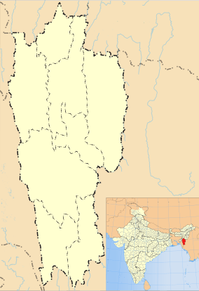 Farkawn  Farkawn Location in Mizoram, India | |
| Coordinates: 23°04′43″N 93°17′41″E / 23.0786839°N 93.294836°ECoordinates: 23°04′43″N 93°17′41″E / 23.0786839°N 93.294836°E | |
| Country | India |
| State | Mizoram |
| District | Champhai |
| Block | Khawbung |
| Elevation | 1,279 m (4,196 ft) |
| Population (2011) | |
| • Total | 2,700 |
| Time zone | IST (UTC+5:30) |
| 2011 census code | 271371 |
Farkawn is a village in the Champhai district of Mizoram, India. It is located in the Khawbung R.D. Block.[1]
Fakawn lies about 90 miles south-west of Champhai. There are many Mizo historical monuments in this village, including Fiara Tui, Far Puk, Lamsial Puk, Chhura chi rawt lung, Lungkeiphawtial, Fanai Silai khawhthlakna, Kungawrhi hnuhluhna, Khuavang Lamthuamthum, and Chawngvungi Lung. There also is a Natural Heritage including Lurh Tlang and Tan Tlang, these two are among the five highest Mountains in Mizoram. In Mizo History, Lurh mountain has the authority to our weather and Tan mountain is the living placed for Lasi, popularly known as Chawngtinleri, like a wizard, Lasi can do anything they wish for.
Because of its heritage sites, good weather and scenic beauty, Farkwan is a popular tourist place in Mizoram.
Demographics
According to the 2011 census of India, Farkawn has 553 households. The effective literacy rate (i.e. the literacy rate of population excluding children aged 6 and below) is 97.64%.[2]
| Total | Male | Female | |
|---|---|---|---|
| Population | 2700 | 1348 | 1352 |
| Children aged below 6 years | 374 | 199 | 175 |
| Scheduled caste | 0 | 0 | 0 |
| Scheduled tribe | 2641 | 1307 | 1334 |
| Literates | 2271 | 1130 | 1141 |
| Workers (all) | 1567 | 785 | 782 |
| Main workers (total) | 1488 | 749 | 739 |
| Main workers: Cultivators | 1269 | 585 | 684 |
| Main workers: Agricultural labourers | 3 | 3 | 0 |
| Main workers: Household industry workers | 4 | 2 | 2 |
| Main workers: Other | 212 | 159 | 53 |
| Marginal workers (total) | 79 | 36 | 43 |
| Marginal workers: Cultivators | 66 | 32 | 34 |
| Marginal workers: Agricultural labourers | 0 | 0 | 0 |
| Marginal workers: Household industry workers | 0 | 0 | 0 |
| Marginal workers: Others | 13 | 4 | 9 |
| Non-workers | 1133 | 563 | 570 |
References
- ↑ "Mizoram villages" (PDF). Land Records Information Systems Division, NIC. Retrieved 2015-08-22.
- 1 2 "District Census Handbook - Champhai" (PDF). 2011 Census of India. Directorate of Census Operations, Mizoram. Retrieved 2015-08-22.